File:Strait Feronia Wellington En Route to Picton (26693776091) (cropped).jpg
Size of this preview: 800 × 450 pixels. Other resolutions: 320 × 180 pixels | 640 × 360 pixels | 1,080 × 608 pixels.
Original file (1,080 × 608 pixels, file size: 190 KB, MIME type: image/jpeg)
Captions
Captions
Add a one-line explanation of what this file represents
Summary
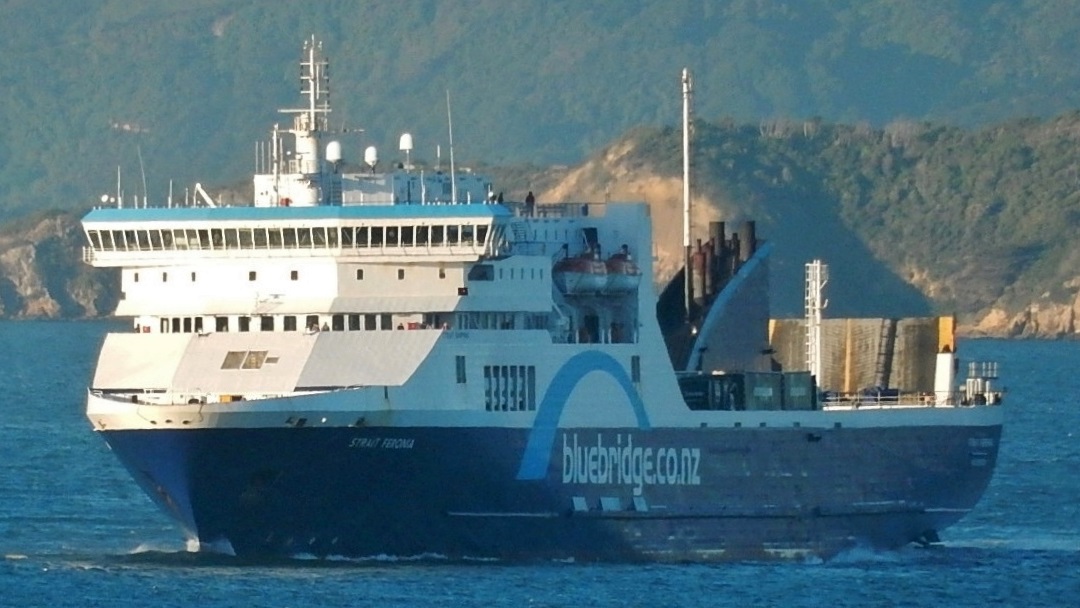
edit| Description | Ferry En Route to Picton |
| Date | 15 April 2016, 14:38 (according to Exif data) |
| Source | cropped from image located at Ferry En Route to Picton |
| Author | Michael Coghlan from Adelaide, Australia |
| Other versions |
.jpg)
_(cropped).jpg&action=edit§ion=1)
| Camera location | | View this and other nearby images on: OpenStreetMap |
|---|
_(cropped).jpg¶ms=-41.292023_N_0174.788063_E_globe:Earth_type:camera_source:Flickr_&language=en)
Licensing
edit_(cropped).jpg&action=edit§ion=2)
This file is licensed under the Creative Commons Attribution-Share Alike 2.0 Generic license.
- You are free:
- to share – to copy, distribute and transmit the work
- to remix – to adapt the work
- Under the following conditions:
- attribution – You must give appropriate credit, provide a link to the license, and indicate if changes were made. You may do so in any reasonable manner, but not in any way that suggests the licensor endorses you or your use.
- share alike – If you remix, transform, or build upon the material, you must distribute your contributions under the same or compatible license as the original.
| This image was originally posted to Flickr by mikecogh at https://flickr.com/photos/89165847@N00/26693776091. It was reviewed on 25 May 2016 by FlickreviewR and was confirmed to be licensed under the terms of the cc-by-sa-2.0. |
File history
Click on a date/time to view the file as it appeared at that time.
| Date/Time | Thumbnail | Dimensions | User | Comment | |
|---|---|---|---|---|---|
| current | 18:56, 25 May 2016 | | 1,080 × 608 (190 KB) | Ahecht (talk | contribs) | == {{int:filedesc}} == {{Information | Description = Ferry En Route to Picton | Source = cropped from image located at [https://www.flickr.com/photos/mikecogh/26693776091/ Ferry En Route to Picton] | Date = {{according to exif|2016-04-15 14... |
You cannot overwrite this file.
File usage on Commons
The following 2 pages use this file:
File usage on other wikis
The following other wikis use this file:
- Usage on en.wikipedia.org
- Usage on id.wikipedia.org
_(cropped).jpg&oldid=612539731)