File:Stratigraphy of the North Polar Deposits.jpg

Size of this preview: 800 × 600 pixels. Other resolutions: 320 × 240 pixels | 640 × 480 pixels | 1,024 × 768 pixels | 1,280 × 960 pixels | 2,560 × 1,920 pixels.
Original file (2,560 × 1,920 pixels, file size: 5.59 MB, MIME type: image/jpeg)
Captions
Captions
Add a one-line explanation of what this file represents
| Description |
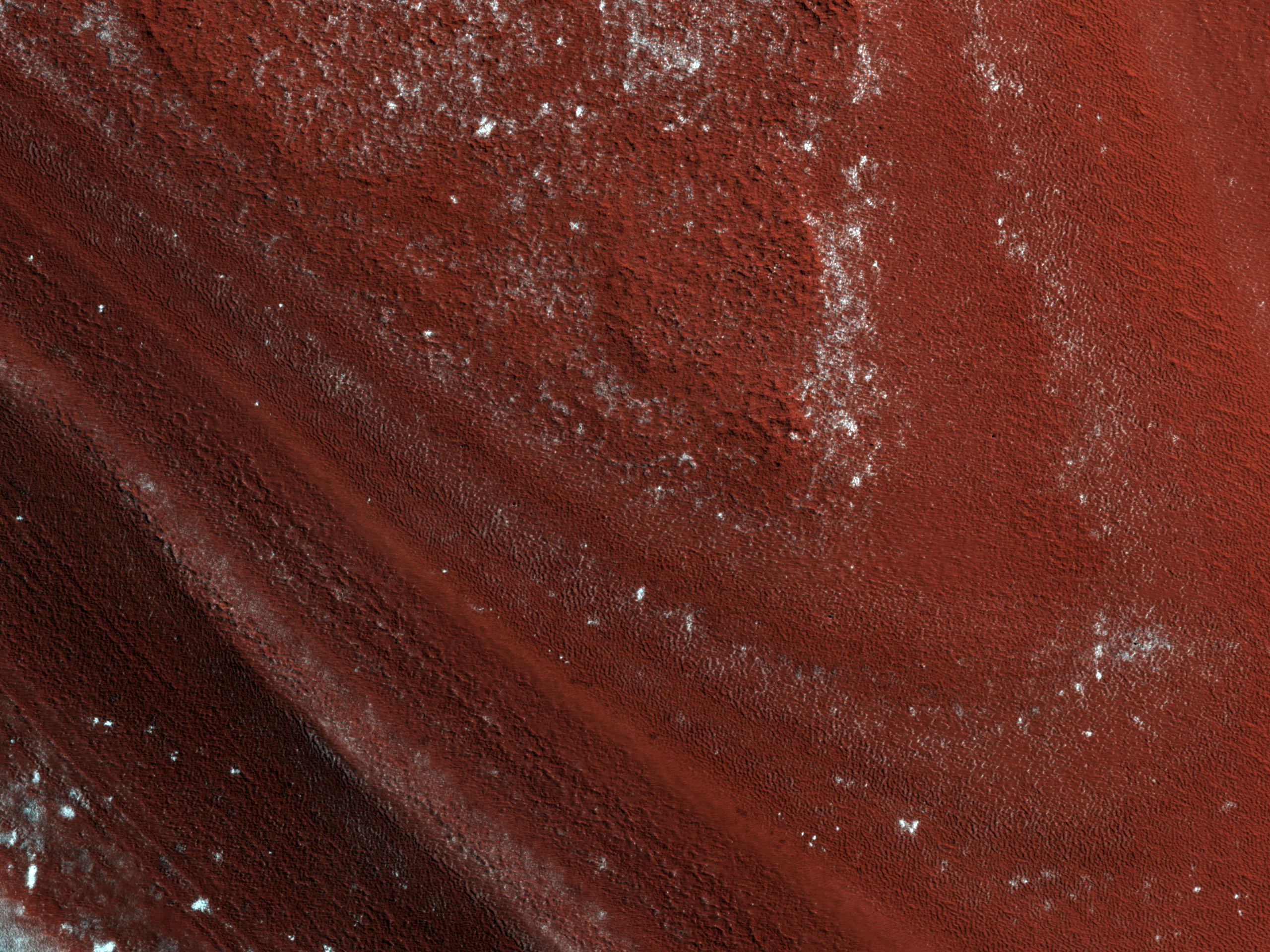
English: Stratigraphy of the North Polar Deposits of Planum Boreum, or North Polar deposits of Mars, observed by HiRISE on Mars Reconnaissance Orbiter. Deposits consist mainly of water ice and small amounts of dust. Image is approximately 1km (3300 feet) across.
Ελληνικά: Στρωματογραφία των αποθέσεων στο Βόρειο Πόλο του Άρη, αποτελούμενων από πάγο και σκόνη. Το πλάτος της περιοχής είναι περίπου 1km. Εικόνα από το τηλεσκόπιο HiRISE της διαστημοσυσκευής Mars Reconnaissance Orbiter της NASA.Πληρέστερη περιγραφή της εικόνας στα Ελληνικά στη σελίδα του HiRISE |
|||||
| Date | ||||||
| Source | HiRISE webpage with full description and analysis, file | |||||
| Author | NASA/JPL/University of Arizona | |||||
| Permission (Reusing this file) |
|

| Location on Mars | View this and other nearby images on: Google Maps |
|---|
File history
Click on a date/time to view the file as it appeared at that time.
| Date/Time | Thumbnail | Dimensions | User | Comment | |
|---|---|---|---|---|---|
| current | 17:03, 18 September 2011 | | 2,560 × 1,920 (5.59 MB) | Badseed (talk | contribs) | {{Information |Description={{en|Stratigraphy of the North Polar Deposits of Planum Boreum, or North Polar deposits of Mars, observed by HiRISE on Mars Reconnaissance Orbiter. Deposits consist mainly of water ice and small amounts of dust. Image is approxi |
You cannot overwrite this file.
File usage on Commons
There are no pages that use this file.
File usage on other wikis
The following other wikis use this file:
- Usage on de.wikipedia.org
- Usage on lb.wikipedia.org