File:Strawberry Mountains and Lake-Malheur (29672159626).jpg
Size of this preview: 775 × 600 pixels. Other resolutions: 310 × 240 pixels | 620 × 480 pixels | 952 × 737 pixels.
Original file (952 × 737 pixels, file size: 151 KB, MIME type: image/jpeg)
Captions
Captions
Add a one-line explanation of what this file represents
Summary
edit.jpg&action=edit§ion=1)
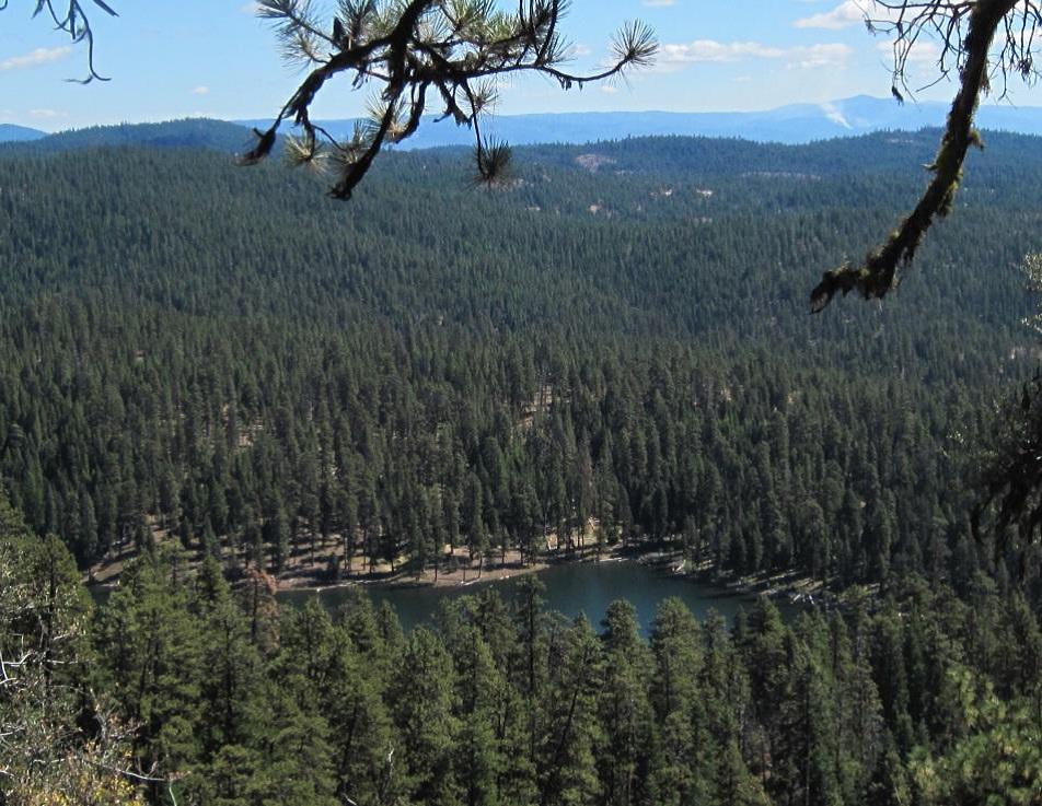
| Description | View of the Strawberry Mountain Range with Lake on the Malheur National Forest in North Eastern Oregon. |
| Date | |
| Source | Strawberry Mountains and Lake-Malheur |
| Author | U.S. Forest Service- Pacific Northwest Region |
| Camera location | | View this and other nearby images on: OpenStreetMap |
|---|
.jpg¶ms=044.231704_N_-118.770189_E_globe:Earth_type:camera_source:Flickr_&language=en)
Licensing
edit.jpg&action=edit§ion=2)
| This image was originally posted to Flickr by Forest Service Pacific Northwest Region at https://flickr.com/photos/135886671@N08/29672159626 (archive). It was reviewed on 13 September 2018 by FlickreviewR 2 and was confirmed to be licensed under the terms of the Public Domain Mark. |
This image is a work of the Forest Service of the United States Department of Agriculture. As a work of the U.S. federal government, the image is in the public domain.
|
File history
Click on a date/time to view the file as it appeared at that time.
| Date/Time | Thumbnail | Dimensions | User | Comment | |
|---|---|---|---|---|---|
| current | 20:36, 13 September 2018 | | 952 × 737 (151 KB) | Tyler ser Noche (talk | contribs) | Transferred from Flickr via #flickr2commons |
You cannot overwrite this file.
File usage on Commons
The following page uses this file:
.jpg&oldid=845131861)