File:Stuart Highway - Parap.jpg

Size of this preview: 800 × 532 pixels. Other resolutions: 320 × 213 pixels | 640 × 426 pixels | 1,024 × 681 pixels | 1,280 × 851 pixels | 1,600 × 1,064 pixels.
Original file (1,600 × 1,064 pixels, file size: 1.4 MB, MIME type: image/jpeg)
Captions
Captions
Add a one-line explanation of what this file represents
| Description | ||||
| Date | ||||
| Source | Own work | |||
| Author | Bidgee | |||
| Permission (Reusing this file) |
|

| Camera location | | View this and other nearby images on: OpenStreetMap |
|---|
File history
Click on a date/time to view the file as it appeared at that time.
| Date/Time | Thumbnail | Dimensions | User | Comment | |
|---|---|---|---|---|---|
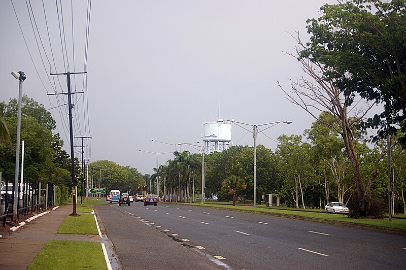
| current | 14:58, 20 May 2009 | | 1,600 × 1,064 (1.4 MB) | Bidgee (talk | contribs) | {{Information |Description={{en|1=Stuart Highway in Parap, Northern Territory}} |Source=Own work by uploader |Author=Bidgee |Date=2008-02-15 |Permission={{GFDL-1 |
You cannot overwrite this file.
File usage on Commons
There are no pages that use this file.