File:Stubble near Sapperton - geograph.org.uk - 1109689.jpg
No higher resolution available.
Stubble_near_Sapperton_-_geograph.org.uk_-_1109689.jpg (640 × 480 pixels, file size: 163 KB, MIME type: image/jpeg)
Captions
Captions
Add a one-line explanation of what this file represents
Summary
edit
| Description |
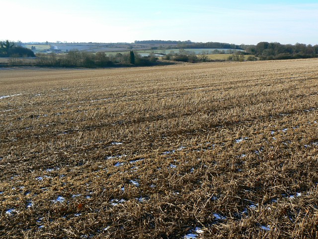
English: Stubble near Sapperton. Viewed from the Wysis/Macmillan Way. Two years ago this field had oilseed rape in it 465033 Last year it looks as if it was used for a cereal crop. It hasn't been ploughed since then so perhaps the field is taking a gap year to go back-packing. |
| Date | |
| Source | From geograph.org.uk |
| Author | Brian Robert Marshall |
| Attribution (required by the license) | Brian Robert Marshall / Stubble near Sapperton / |
| Camera location | | View this and other nearby images on: OpenStreetMap |
|---|
_heading:247.00&language=en)
| Object location | | View this and other nearby images on: OpenStreetMap |
|---|
_heading:247.00&language=en)
Licensing
edit

|
This image was taken from the Geograph project collection. See this photograph's page on the Geograph website for the photographer's contact details. The copyright on this image is owned by Brian Robert Marshall and is licensed for reuse under the Creative Commons Attribution-ShareAlike 2.0 license.
|
This file is licensed under the Creative Commons Attribution-Share Alike 2.0 Generic license.
Attribution: Brian Robert Marshall
- You are free:
- to share – to copy, distribute and transmit the work
- to remix – to adapt the work
- Under the following conditions:
- attribution – You must give appropriate credit, provide a link to the license, and indicate if changes were made. You may do so in any reasonable manner, but not in any way that suggests the licensor endorses you or your use.
- share alike – If you remix, transform, or build upon the material, you must distribute your contributions under the same or compatible license as the original.
File history
Click on a date/time to view the file as it appeared at that time.
| Date/Time | Thumbnail | Dimensions | User | Comment | |
|---|---|---|---|---|---|
| current | 18:58, 24 February 2011 | | 640 × 480 (163 KB) | GeographBot (talk | contribs) | == {{int:filedesc}} == {{Information |description={{en|1=Stubble near Sapperton Viewed from the Wysis/Macmillan Way. Two years ago this field had oilseed rape in it http://www.geograph.org.uk/photo/465033 Last year it looks as if it was used for a cereal |
You cannot overwrite this file.
File usage on Commons
There are no pages that use this file.