File:Suez Canal (ca 1914).jpg

Size of this preview: 450 × 600 pixels. Other resolutions: 180 × 240 pixels | 360 × 480 pixels | 576 × 768 pixels | 768 × 1,024 pixels | 1,692 × 2,256 pixels.
Original file (1,692 × 2,256 pixels, file size: 3.38 MB, MIME type: image/jpeg)
Captions
Captions
Add a one-line explanation of what this file represents
Summary
edit.jpg&action=edit§ion=1)
| Description |
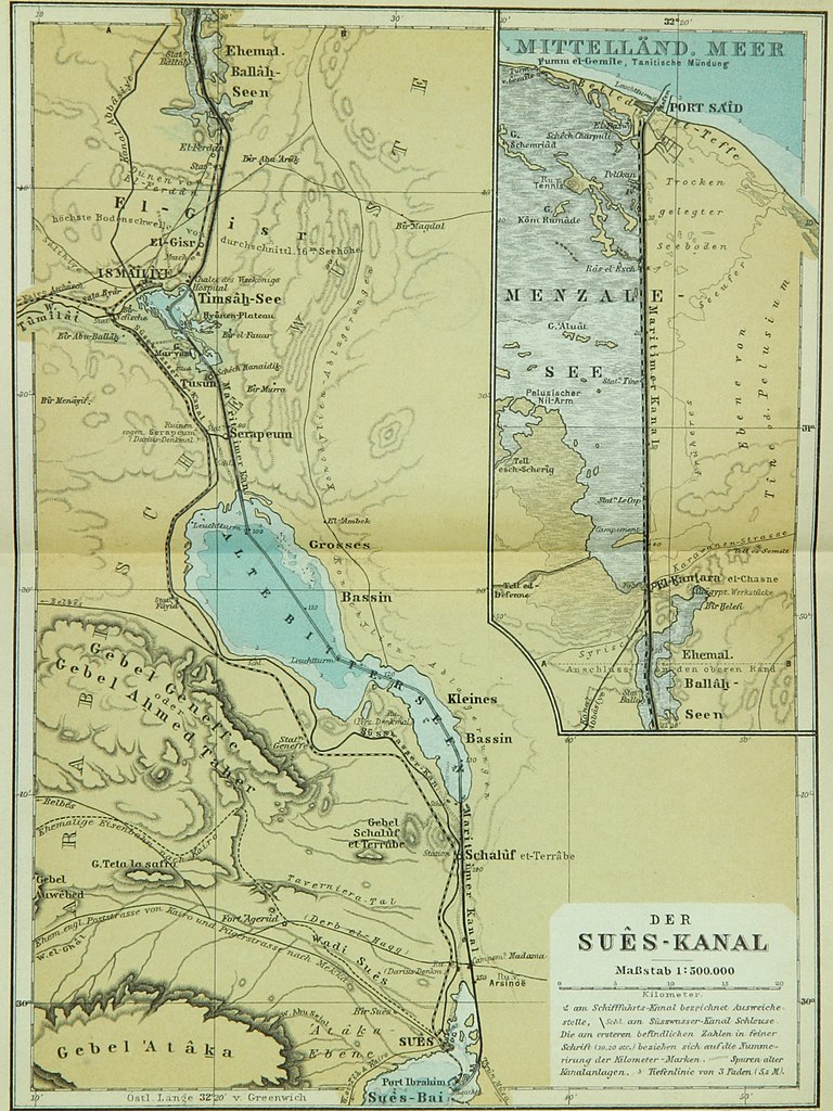
English: Map of the Suez Canal (1:500,000) in two parts; labelled in German.
Deutsch: Karte des Suêskanals (1:500.000) in zwei Teilen; auf Deutsch beschriftet. |
| Date | |
| Source | Baedeker, Karl: Indien. Handbuch für Reisende. Verlag Karl Baedeker, Leipzig, 1914, p. 6 f. |
| Author | (Heinrich) Wagner & (Ernst) Debes, Leipzig |
Licensing
edit.jpg&action=edit§ion=2)
|
This work is in the public domain in its country of origin and other countries and areas where the copyright term is the author's life plus 70 years or fewer. This work is in the public domain in the United States because it was published (or registered with the U.S. Copyright Office) before January 1, 1929. | |
| This file has been identified as being free of known restrictions under copyright law, including all related and neighboring rights. | |
File history
Click on a date/time to view the file as it appeared at that time.
| Date/Time | Thumbnail | Dimensions | User | Comment | |
|---|---|---|---|---|---|
| current | 21:29, 23 January 2020 | | 1,692 × 2,256 (3.38 MB) | User-duck (talk | contribs) | Cropped and rotated using CropTool with precise mode. |
| 11:02, 28 February 2017 |  | 1,747 × 2,285 (3.53 MB) | Ubel (talk | contribs) | User created page with UploadWizard |
You cannot overwrite this file.
File usage on Commons
The following 6 pages use this file:
- User:Christian1985/Mittelrhein/2020 January 21-31
- User:Chumwa/OgreBot/Potential transport maps/2017 February 19-28
- User:Chumwa/OgreBot/Potential transport maps/2020 January 21-31
- User:Chumwa/OgreBot/Transport Maps/2017 February 19-28
- User:Chumwa/OgreBot/Transport Maps/2020 January 21-31
- User:Chumwa/OgreBot/Travel and communication maps/2017 February 19-28
File usage on other wikis
The following other wikis use this file:
- Usage on en.wikipedia.org
- Usage on hy.wikipedia.org
.jpg&oldid=885146875)