File:Sufsa.svg

Size of this PNG preview of this SVG file: 800 × 426 pixels. Other resolutions: 320 × 170 pixels | 640 × 341 pixels | 1,024 × 545 pixels | 1,280 × 681 pixels | 2,560 × 1,363 pixels | 1,715 × 913 pixels.
Original file (SVG file, nominally 1,715 × 913 pixels, file size: 150 KB)
Captions
Captions
Add a one-line explanation of what this file represents
Summary edit
| Description |
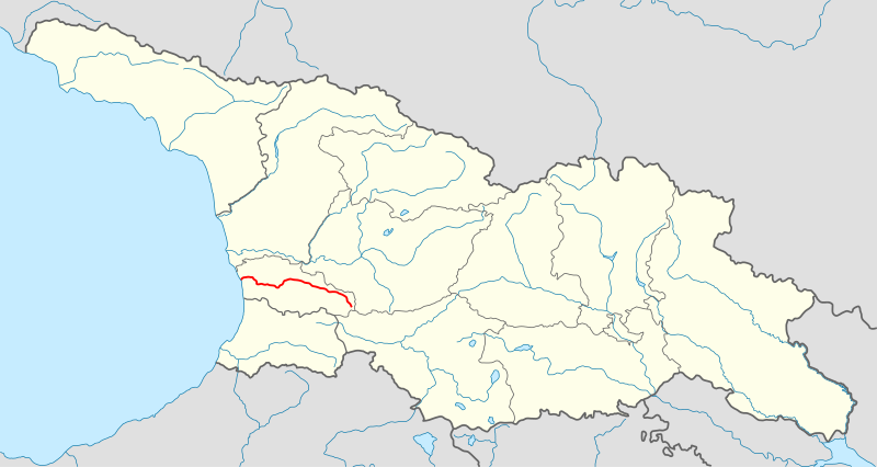
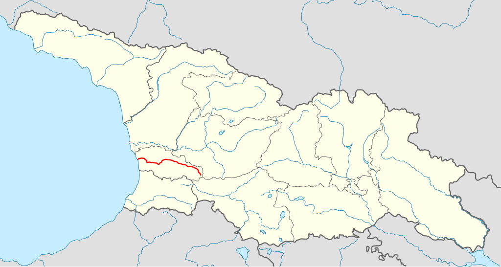
ქართული: მდინარე სუფსა |
| Date | 18 November 2011 (original upload date) |
| Source |
|
| Author |
|
| This is a retouched picture, which means that it has been digitally altered from its original version. The original can be viewed here: Georgia location map2.svg:
|
Licensing edit
| |
This work has been released into the public domain by its author, Giorgi13, at the English Wikipedia project. This applies worldwide. In case this is not legally possible: |
Original upload log edit
Transferred from ka.wikipedia to Commons by Geagea using CommonsHelper. This image is a derivative work of the following images:
- File:Georgia_location_map2.svg licensed with Cc-by-sa-3.0
The original description page was here. All following user names refer to ka.wikipedia.
- 2011-11-18 20:14 Giorgi13 1715×913× (154106 bytes) {{ინფორმაცია | აღწერა = * [[სუფსა|მდინარე სუფსა]] | წყარო = * [[:File:Georgia location map2.svg]] | თარიღი = * 18.11.2011 | ავტორი =
File history
Click on a date/time to view the file as it appeared at that time.
| Date/Time | Thumbnail | Dimensions | User | Comment | |
|---|---|---|---|---|---|
| current | 13:36, 19 June 2012 | | 1,715 × 913 (150 KB) | File Upload Bot (Magnus Manske) (talk | contribs) | Transfered from ka.wikipedia by User:geagea using CommonsHelper |
You cannot overwrite this file.
File usage on Commons
The following page uses this file:
File usage on other wikis
The following other wikis use this file:
- Usage on arz.wikipedia.org
- Usage on cs.wikipedia.org
- Usage on de.wikipedia.org
- Usage on en.wikipedia.org
- Usage on fa.wikipedia.org
- Usage on he.wikipedia.org
- Usage on ka.wikipedia.org
- Usage on nl.wikipedia.org
- Usage on tr.wikipedia.org
- Usage on uk.wikipedia.org
- Usage on www.wikidata.org
- Usage on xmf.wikipedia.org