File:Sulików (gmina) location map.png
Original file (863 × 1,031 pixels, file size: 227 KB, MIME type: image/png)
Captions
Captions
Summary edit
_location_map.png&action=edit§ion=1)
| Description |
English: Location map |
| Date | |
| Source | Own work |
| Author | Smat |
| Description |
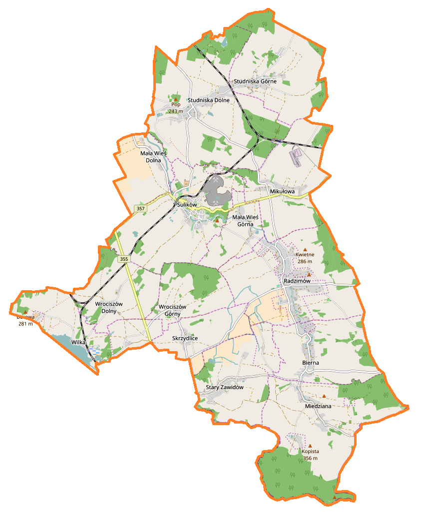
Polski: Mapa gminy Sulików, Polska
English: Map of Sulików (gmina), Poland |
|||||||||
| Date | ||||||||||
| Source | You may find a page on the OpenStreetMap wiki page for Sulików (gmina) | |||||||||
| Creator |
OpenStreetMap contributors OpenStreetMap contributors |
|||||||||
| Permission (Reusing this file) |
OpenStreetMap data is available under the Open Database License (details). Map tiles are licensed under the Creative Commons Attribution-ShareAlike 2.0 license (CC-BY-SA 2.0).
This file is licensed under the Creative Commons Attribution-Share Alike 2.0 Generic license.
|
|||||||||
| Geotemporal data | ||||||||||
| Bounding box |
|
|||||||||
| Georeferencing | If inappropriate please set warp_status = skip to hide. | |||||||||
Licensing edit
_location_map.png&action=edit§ion=2)
| This work contains information from OpenStreetMap, which is made available under the Open Database License (ODbL).
The ODbL does not require any particular license for maps produced from ODbL data. Prior to 1 August 2020, map tiles produced by the OpenStreetMap Foundation were licensed under the CC-BY-SA-2.0 license. Maps produced by other people may be subject to other licences. |
File history
Click on a date/time to view the file as it appeared at that time.
| Date/Time | Thumbnail | Dimensions | User | Comment | |
|---|---|---|---|---|---|
| current | 16:27, 17 February 2017 | | 863 × 1,031 (227 KB) | Smat (talk | contribs) | User created page with UploadWizard |
You cannot overwrite this file.
File usage on Commons
There are no pages that use this file.
File usage on other wikis
The following other wikis use this file:
- Usage on de.wikipedia.org
- Usage on pl.wikipedia.org
- Skrzydlice
- Sulików (gmina)
- Mała Wieś Dolna
- Mała Wieś Górna
- Mikułowa
- Radzimów
- Stary Zawidów
- Studniska Dolne
- Studniska Górne
- Wielichów
- Wilka
- Wrociszów Dolny
- Wrociszów Górny
- Bierna (województwo dolnośląskie)
- Sulików (województwo dolnośląskie)
- Miedziana (województwo dolnośląskie)
- Łowin (województwo dolnośląskie)
- Podgórze (województwo dolnośląskie)
- Nowoszyce (powiat zgorzelecki)
- Jabłoniec (województwo dolnośląskie)
- Ksawerów (województwo dolnośląskie)
- Wilka-Bory
- Parafia Podwyższenia Krzyża Świętego w Sulikowie
- Sulików (stacja kolejowa)
- Radzimów Dolny
- Radzimów Górny
- Mikułowa (stacja kolejowa)
- Parafia św. Marii Magdaleny w Radzimowie Górnym
- Płonka (dopływ Czerwonej Wody)
- Pałac w Miedzianej
- Pałac w Mikułowej
- Pałac w Ksawerowie
- Kościół Podwyższenia Krzyża Świętego w Sulikowie (duży)
- Kościół Podwyższenia Krzyża Świętego w Sulikowie (mały)
- Moduł:Mapa/dane/Sulików (gmina)
- Wrociszów Dolny-Kolonia
- Kościół św. Anny i św. Michała Archanioła w Studniskach Dolnych
- Kościół św. Marii Magdaleny w Radzimowie Górnym
- Kościół św. Piotra i Pawła w Miedzianej
- Usage on pl.wikibooks.org
_location_map.png&oldid=607601024)