File:Survey of Palestine, Palästina 09 (FL164011436 2369739).jpg

Size of this preview: 410 × 600 pixels. Other resolutions: 164 × 240 pixels | 328 × 480 pixels | 525 × 768 pixels | 700 × 1,024 pixels | 1,400 × 2,048 pixels | 3,420 × 5,001 pixels.
Original file (3,420 × 5,001 pixels, file size: 10.25 MB, MIME type: image/jpeg)
Captions
Captions
Add a one-line explanation of what this file represents
Summary
edit| Survey of Palestine: Palästina
( |
||||||||||||||||||||||||
|---|---|---|---|---|---|---|---|---|---|---|---|---|---|---|---|---|---|---|---|---|---|---|---|---|
| Artist |
|
|||||||||||||||||||||||
| Title |
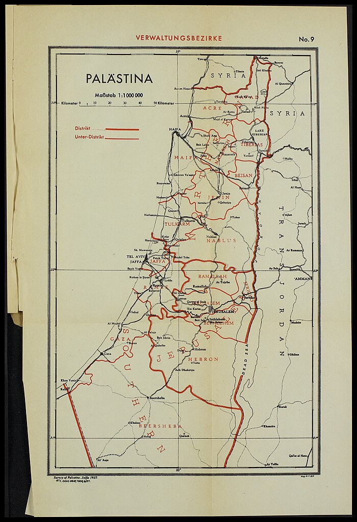
Palästina |
|||||||||||||||||||||||
| Publisher |
Survey of Palestine |
|||||||||||||||||||||||
| Description |
Palästina. |
|||||||||||||||||||||||
| Language | German, English | |||||||||||||||||||||||
| Publication date | 1937 | |||||||||||||||||||||||
| Collection |
|
|||||||||||||||||||||||
| Current location |
|
|||||||||||||||||||||||
| Place of publication | Jaffa | |||||||||||||||||||||||
| search Merhav catalog | Jaffa | |||||||||||||||||||||||
| Notes | Content: Maps no. 2-9. | |||||||||||||||||||||||
| scale | 1:1,000,000 cm | |||||||||||||||||||||||
| IE PID | IE164011427 | |||||||||||||||||||||||
| Rosetta filename | FL164011436 | |||||||||||||||||||||||
| NNL item ID (P3959) | 990023697390205171 | |||||||||||||||||||||||
| search Merhav catalog | German, English, Survey of Palestine | |||||||||||||||||||||||
| search Merhav catalog | Stand der LandvermessungStand der Festlegung der BodenbesitzverhältnisseJüdischer BodenbesitzStaatsdomänen und ForstgebieteKartenskizze von Palästina und den NachbarstaatenTeilungsplan mit den Vorgeschlagenen GrenzenPartition Provisional frontierVerwaltungsbezirke PalästinaLandwirtschaftliche NutzflächenSurvey of Palestine | |||||||||||||||||||||||
| Source/Photographer |
|
|||||||||||||||||||||||
| Other versions | ||||||||||||||||||||||||
| Jpg / Tif version |
|
|||||||||||||||||||||||

.jpg)

.jpg&action=edit§ion=1)
Licensing
edit.jpg&action=edit§ion=2)
This work created by the United Kingdom Government is in the public domain.
This is because it is one of the following:
HMSO has declared that the expiry of Crown Copyrights applies worldwide (ref: HMSO Email Reply)
|
 |
File history
Click on a date/time to view the file as it appeared at that time.
| Date/Time | Thumbnail | Dimensions | User | Comment | |
|---|---|---|---|---|---|
| current | 00:25, 2 August 2023 | | 3,420 × 5,001 (10.25 MB) | Geagea (talk | contribs) | pattypan 22.03 |
You cannot overwrite this file.
File usage on Commons
The following 2 pages use this file:
.jpg&oldid=789166521)