File:Svor tunel.JPG
Size of this preview: 800 × 533 pixels. Other resolutions: 320 × 213 pixels | 640 × 427 pixels | 1,024 × 683 pixels | 1,280 × 853 pixels | 2,560 × 1,707 pixels | 3,648 × 2,432 pixels.
Original file (3,648 × 2,432 pixels, file size: 3.49 MB, MIME type: image/jpeg)
Captions
Captions
Add a one-line explanation of what this file represents
Summary
edit
| Description |
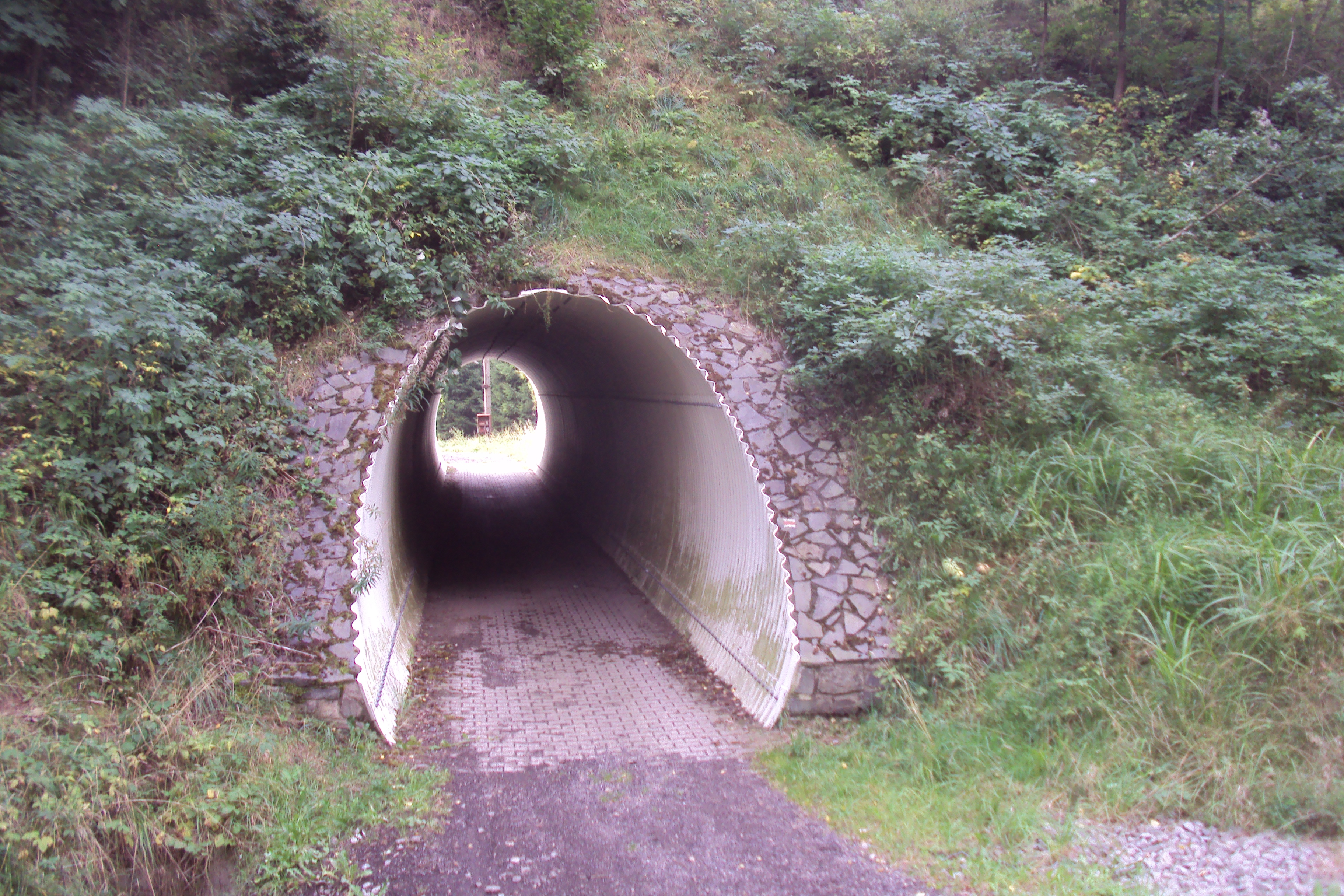
Čeština: Tunel pod železniční tratí ve Svoru, skrz vede červená turistická trasa |
||
| Date | |||
| Source | Own work | ||
| Author | Zákupák | ||
| Permission (Reusing this file) |
|
| Object location | | View this and other nearby images on: OpenStreetMap |
|---|
File history
Click on a date/time to view the file as it appeared at that time.
| Date/Time | Thumbnail | Dimensions | User | Comment | |
|---|---|---|---|---|---|
| current | 00:20, 15 September 2013 | | 3,648 × 2,432 (3.49 MB) | Zákupák (talk | contribs) | {{Information |Description ={{cs|1=Tunel pod železniční tratí ve Svoru, skrz vede žlutá turistická trasa}} |Source ={{own}} |Author =Zákupák |Date =2013-09-14 |Permission = |other_versions = ... |
You cannot overwrite this file.
File usage on Commons
There are no pages that use this file.
File usage on other wikis
The following other wikis use this file:
- Usage on www.wikidata.org