File:Swisstopo Digitalisierung der Geländegeometrie.jpg

Original file (4,961 × 7,016 pixels, file size: 2.12 MB, MIME type: image/jpeg)
Captions
Captions
Summary edit
| Description |
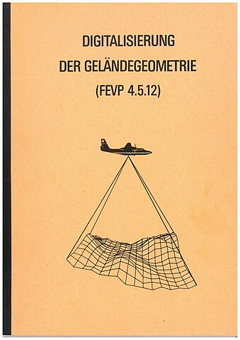
Deutsch: Das Titelbild der Studie zur Digitalisierung der Geländegeometrie (FEVP 4.5.12) von 1976 zeigt ein Propellerflugzeug, welches mittels einen nach vorne und eines nach hinten gerichteten Scans ein Höhenmodell erfasst. |
| Date | |
| Source | Own work |
| Author | Eidgenössische Landestopographie |
Licensing edit
The data made publicly available by swisstopo may be used, distributed and made accessible. Furthermore, they may be enriched and processed and also used commercially. A reference to the source is mandatory. In the case of digital or analogue representations and publications, as well as in the case of dissemination, one of the following source references must be attached in any case:
Terms of use for free geodata and geoservices (OGD) from swisstopo
|
.svg) |
File history
Click on a date/time to view the file as it appeared at that time.
| Date/Time | Thumbnail | Dimensions | User | Comment | |
|---|---|---|---|---|---|
| current | 13:16, 12 December 2023 | | 4,961 × 7,016 (2.12 MB) | Swisstopo historic (talk | contribs) | Uploaded own work with UploadWizard |
You cannot overwrite this file.
File usage on Commons
There are no pages that use this file.
File usage on other wikis
The following other wikis use this file:
- Usage on de.wikipedia.org