File:Syria Apamea.jpg

Original file (1,536 × 1,280 pixels, file size: 423 KB, MIME type: image/jpeg)
Captions
Captions
| Description |
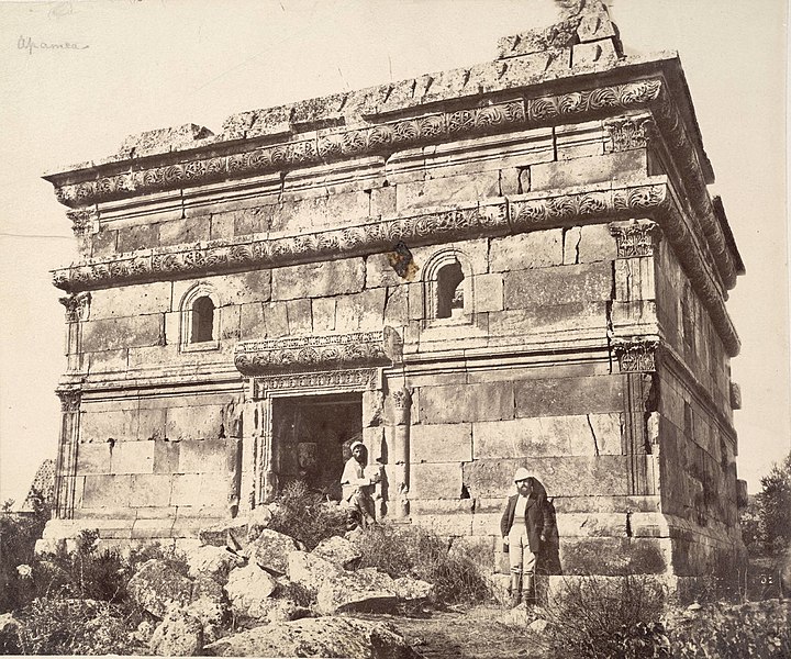
Collection: A. D. White Architectural Photographs, Cornell University Library Accession Number: 15/5/3090.00612 Title: Syria: Apamea Photograph date: ca. 1860-ca. 1890 Location: Asia: Syria; quoted as in Apamea (but more probably in Al-Bara) Materials: albumen print Image: 8.8583 x 10.7874 in.; 22.5 x 27.4 cm Provenance: Gift of Andrew Dickson White Persistent URI: <a href="http://library24.library.cornell.edu/collections/adw/75750-10040127.html" rel="nofollow">http://library24.library.cornell.edu/collections/adw/75750-10040127.html</a> There are no known U.S. copyright restrictions on this image. The digital file is owned by the Cornell University Library which is making it freely available with the request that, when possible, the Library be credited as its source. |
||
| Date | between circa 1860 and circa 1890 | ||
| Source | originally posted to Flickr as Syria: Apamea | ||
| Author | Cornell University Library | ||
| Permission (Reusing this file) |
This file is licensed under the Creative Commons Attribution 2.0 Generic license.
|
||
| Other versions |
|

| Object location | | View this and other nearby images on: OpenStreetMap |
|---|
| Camera location | | View this and other nearby images on: OpenStreetMap |
|---|
File history
Click on a date/time to view the file as it appeared at that time.
| Date/Time | Thumbnail | Dimensions | User | Comment | |
|---|---|---|---|---|---|
| current | 21:28, 7 July 2009 | | 1,536 × 1,280 (423 KB) | Flickr upload bot (talk | contribs) | Uploaded from http://flickr.com/photo/30515687@N05/3672475225 using Flickr upload bot |
You cannot overwrite this file.
File usage on Commons
The following page uses this file: