File:Szczecinek location map.png

Size of this preview: 715 × 599 pixels. Other resolutions: 286 × 240 pixels | 573 × 480 pixels | 916 × 768 pixels | 1,222 × 1,024 pixels | 1,483 × 1,243 pixels.
Original file (1,483 × 1,243 pixels, file size: 537 KB, MIME type: image/png)
Captions
Captions
Add a one-line explanation of what this file represents
| Description |
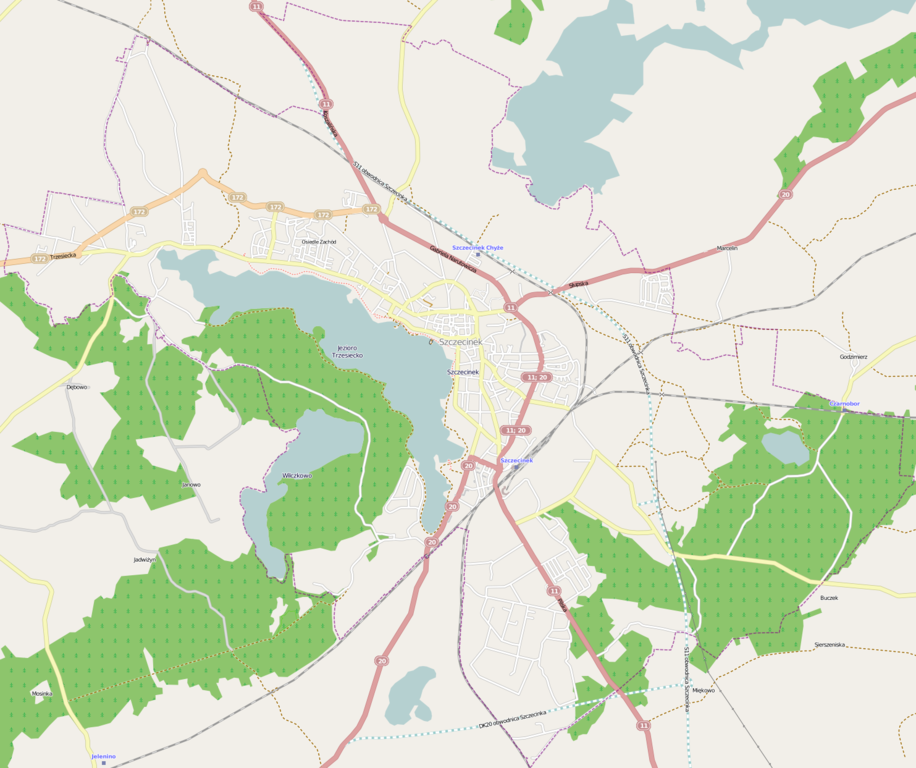
Location map of Szczecinek, Poland This map of Szczecinek was created from OpenStreetMap project data, collected by the community. This map may be incomplete, and may contain errors. Don't rely solely on it for navigation. |
|||||||||
| Date | (see file history) | |||||||||
| Source | You may find a page on the OpenStreetMap wiki page for Szczecinek | |||||||||
| Creator |
OpenStreetMap contributors OpenStreetMap contributors |
|||||||||
| Permission (Reusing this file) |
OpenStreetMap data is available under the Open Database License (details). Standard style map tiles are licensed as ODbL Produced Works.
|
|||||||||
| Geotemporal data | ||||||||||
| Bounding box |
|
|||||||||
| Georeferencing | If inappropriate please set warp_status = skip to hide. | |||||||||
File history
Click on a date/time to view the file as it appeared at that time.
| Date/Time | Thumbnail | Dimensions | User | Comment | |
|---|---|---|---|---|---|
| current | 12:11, 5 December 2013 | | 1,483 × 1,243 (537 KB) | Powerek38 (talk | contribs) | VicuñaUploader 1.20 |
You cannot overwrite this file.
File usage on Commons
There are no pages that use this file.
File usage on other wikis
The following other wikis use this file:
- Usage on pl.wikipedia.org
- Trzesieka
- Szczecinek (stacja kolejowa)
- Trzesiecko
- Zamek Książąt Pomorskich w Szczecinku
- Świątki (Szczecinek)
- Brzostowo (Szczecinek)
- Stara Synagoga w Szczecinku
- Park Miejski w Szczecinku
- Szczecinek Chyże
- Czarnobór (przystanek kolejowy)
- Czarnobór
- Cerkiew Świętej Trójcy w Szczecinku
- Cmentarz żydowski w Szczecinku
- Kościół Narodzenia Najświętszej Marii Panny w Szczecinku
- Kościół Ducha Świętego w Szczecinku
- Marientron
- Parafia Świętej Trójcy w Szczecinku
- Wilczkowo (Pojezierze Szczecineckie)
- Ratusz w Szczecinku
- Parafia Ducha Świętego w Szczecinku
- Parafia Narodzenia Najświętszej Maryi Panny w Szczecinku
- Parafia św. Rozalii w Szczecinku
- Parafia Miłosierdzia Bożego w Szczecinku
- Parafia św. Franciszka z Asyżu w Szczecinku
- Parafia św. Krzysztofa w Szczecinku
- Muzeum Regionalne w Szczecinku
- Parafia wojskowa św. Ignacego Loyoli w Szczecinku
- Parafia greckokatolicka św. Michała Archanioła w Szczecinku
- Zbór Kościoła Adwentystów Dnia Siódmego w Szczecinku
- Zbór Kościoła Chrześcijan Baptystów w Szczecinku
- Zbór Kościoła Zielonoświątkowego „Betel” w Szczecinku
- Cerkiew św. Michała Archanioła w Szczecinku
- TSR Winniczna
- Lądowisko Szczecinek-Szpital
- Jezioro Leśne (Szczecinek)
- Muzeum Wału Pomorskiego i II Wojny Światowej w Szczecinku
- Moduł:Mapa/dane/Szczecinek
- Bugno
- Wieża kościoła św. Mikołaja w Szczecinku
- Szczecinek Bugno
- Raciborki
- Opoczyska (Szczecinek)
- Chyże (Szczecinek)
- Usage on pl.wikibooks.org
- Usage on pt.wikipedia.org
- Usage on www.wikidata.org