File:Sztabin (gmina) location map.png
Size of this preview: 598 × 599 pixels. Other resolutions: 239 × 240 pixels | 479 × 480 pixels | 949 × 951 pixels.
Original file (949 × 951 pixels, file size: 143 KB, MIME type: image/png)
Captions
Captions
Add a one-line explanation of what this file represents
| Description |
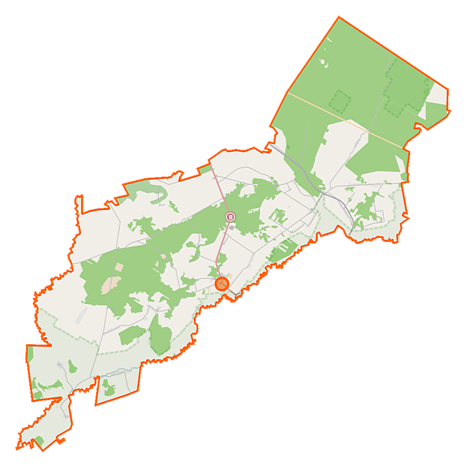
Polski: Mapa gminy Sztabin, Polska
English: Map of Gmina Sztabin, Poland |
|||||||||
| Date | ||||||||||
| Source | You may find a page on the OpenStreetMap wiki page for Sztabin (gmina) | |||||||||
| Creator |
OpenStreetMap contributors OpenStreetMap contributors |
|||||||||
| Permission (Reusing this file) |
OpenStreetMap data is available under the Open Database License (details). Map tiles are licensed under the Creative Commons Attribution-ShareAlike 2.0 license (CC-BY-SA 2.0).
This file is licensed under the Creative Commons Attribution-Share Alike 2.0 Generic license.
|
|||||||||
| Geotemporal data | ||||||||||
| Bounding box |
|
|||||||||
| Georeferencing | If inappropriate please set warp_status = skip to hide. | |||||||||
File history
Click on a date/time to view the file as it appeared at that time.
| Date/Time | Thumbnail | Dimensions | User | Comment | |
|---|---|---|---|---|---|
| current | 13:38, 18 September 2014 | | 949 × 951 (143 KB) | VanWiel (talk | contribs) | {{Information |Description= |Source= |Date= |Author= |Permission= |other_versions= }} |
| 08:19, 3 June 2014 |  | 1,000 × 1,000 (639 KB) | VanWiel (talk | contribs) | {{OpenStreetMap | name = Sztabin (gmina) | location = Sztabin (gmina) | description = {{pl|Mapa gminy Sztabin, Polska}} {{en|Map of Gmina Sztabin, Poland}} | top = 53.8663 | left = 22.8516 | right... |
You cannot overwrite this file.
File usage on Commons
There are no pages that use this file.
File usage on other wikis
The following other wikis use this file:
- Usage on be.wikipedia.org
- Usage on pl.wikipedia.org
- Sztabin
- Sztabin (gmina)
- Rezerwat przyrody Kozi Rynek
- Rezerwat przyrody Kuriańskie Bagno
- Balinka (Polska)
- Czarniewo
- Ewy
- Fiedorowizna
- Hruskie
- Jagłowo
- Jaminy
- Jastrzębna Druga
- Jastrzębna Pierwsza
- Jaziewo
- Krasnoborki
- Krasnybór
- Kryłatka
- Kunicha
- Mogilnice
- Motułka
- Jasionowo Dębowskie
- Ostrowie (powiat augustowski)
- Podcisówek
- Karoliny (województwo podlaskie)
- Ściokła
- Wolne
- Wrotki (województwo podlaskie)
- Cisów (województwo podlaskie)
- Czarny Las (województwo podlaskie)
- Długie (województwo podlaskie)
- Janówek (województwo podlaskie)
- Kopiec (województwo podlaskie)
- Kopytkowo (województwo podlaskie)
- Polkowo (województwo podlaskie)
- Sosnowo (województwo podlaskie)
- Budziski (powiat augustowski)
- Huta (powiat augustowski)
- Kamień (powiat augustowski)
- Lebiedzin (powiat augustowski)
- Lipowo (gmina Sztabin)
- Komaszówka (gmina Sztabin)
- Śluza Dębowo
- Dębowo (powiat augustowski)
- Żmojdak
- Chomaszewo
- Wilkownia
- Balinka (przystanek kolejowy)
- Andrzejewo (powiat augustowski)
- Brzozowe Grądy (osada)
View more global usage of this file.
_location_map.png)
_location_map.png&oldid=483933553)