File:TI Vale do Javari - Kanamari (32876635048).jpg
Size of this preview: 800 × 490 pixels. Other resolutions: 320 × 196 pixels | 640 × 392 pixels | 1,024 × 627 pixels | 1,280 × 784 pixels | 1,764 × 1,080 pixels.
Original file (1,764 × 1,080 pixels, file size: 901 KB, MIME type: image/jpeg)
Captions
Captions
Add a one-line explanation of what this file represents
Summary
edit.jpg&action=edit§ion=1)
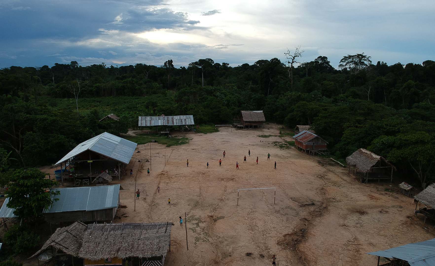
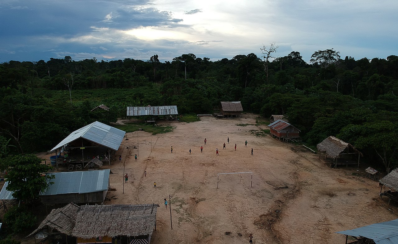
| Description | Terra Indigena Vale do Javari – 28.11.2018 - Contatados na primeira metade do seculo 20, os Kanamari estao presentes em quatro areas na TI Vale do Javari: no rio Itacoai, onde esta a maioria das aldeias, no Medio Javari, no rio Curuca, e no rio Jutai. A Terra Indigena Vale do Javari esta na jurisdicao de quatro municipios do Amazonas: Atalaia do Norte, onde fica a maior area, Benjamim Constant, Jutai e São Paulo de Olivenca, localizados no Alto Rio Solimoes. Dentro dessa regiao estima-se que a populacao Kanamari seja de 1600 indios, uma media de 200 pessoas em cada aldeia. A falta de assistencia a saude, a educacao e ameaças de território sao os principais problemas que permeiam a vida dos indigenas. Na foto vista aerea da aldeia Bananeira, onde vivem cerca de 200 Kanamari localizada no rio Itacoai na Terra Indigena Vale do Javari. Foto: Bruno Kelly/Amazonia Real. |
| Date | |
| Source | TI Vale do Javari - Kanamari |
| Author | Amazônia Real from Manaus AM, Brasil |
| Camera location | | View this and other nearby images on: OpenStreetMap |
|---|
.jpg¶ms=-05.905283_N_-070.582500_E_globe:Earth_type:camera_alt:16.1_source:exif_&language=en)
Licensing
edit.jpg&action=edit§ion=2)
This file is licensed under the Creative Commons Attribution 2.0 Generic license.
- You are free:
- to share – to copy, distribute and transmit the work
- to remix – to adapt the work
- Under the following conditions:
- attribution – You must give appropriate credit, provide a link to the license, and indicate if changes were made. You may do so in any reasonable manner, but not in any way that suggests the licensor endorses you or your use.
| This image was originally posted to Flickr by Agência Amazônia Real at https://flickr.com/photos/135932571@N06/32876635048. It was reviewed on 10 February 2021 by FlickreviewR 2 and was confirmed to be licensed under the terms of the cc-by-2.0. |
File history
Click on a date/time to view the file as it appeared at that time.
| Date/Time | Thumbnail | Dimensions | User | Comment | |
|---|---|---|---|---|---|
| current | 05:41, 10 February 2021 | | 1,764 × 1,080 (901 KB) | Sturm (talk | contribs) | Transferred from Flickr via #flickr2commons |
You cannot overwrite this file.
File usage on Commons
There are no pages that use this file.
.jpg&oldid=878804522)