File:TW CHW187 RouteMap.svg

Size of this PNG preview of this SVG file: 500 × 400 pixels. Other resolutions: 300 × 240 pixels | 600 × 480 pixels | 960 × 768 pixels | 1,280 × 1,024 pixels | 2,560 × 2,048 pixels.
Original file (SVG file, nominally 500 × 400 pixels, file size: 482 KB)
Captions
Captions
Add a one-line explanation of what this file represents
Summary
edit
| Description |
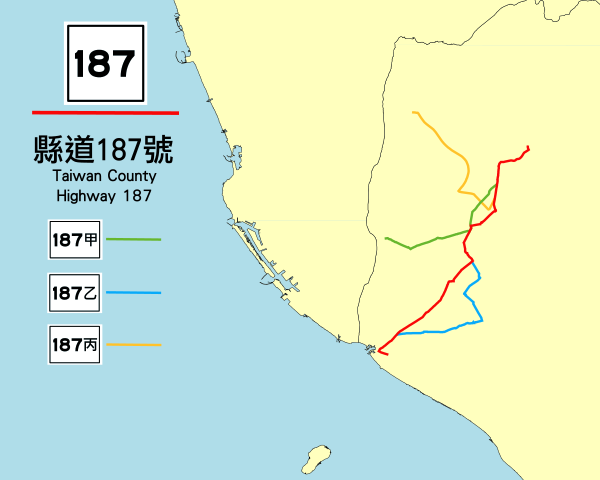
中文(繁體):縣道187號路線地圖。 |
| Date | |
| Source | Own work |
| Author | Black9869184 |
Licensing
edit
I, the copyright holder of this work, hereby publish it under the following license:
This file is licensed under the Creative Commons Attribution-Share Alike 4.0 International license.
- You are free:
- to share – to copy, distribute and transmit the work
- to remix – to adapt the work
- Under the following conditions:
- attribution – You must give appropriate credit, provide a link to the license, and indicate if changes were made. You may do so in any reasonable manner, but not in any way that suggests the licensor endorses you or your use.
- share alike – If you remix, transform, or build upon the material, you must distribute your contributions under the same or compatible license as the original.
File history
Click on a date/time to view the file as it appeared at that time.
| Date/Time | Thumbnail | Dimensions | User | Comment | |
|---|---|---|---|---|---|
| current | 08:48, 28 November 2016 | | 500 × 400 (482 KB) | StevenK234 (talk | contribs) | 依公路總局資料,重新調整路線。 |
| 08:40, 28 November 2016 |  | 500 × 400 (482 KB) | StevenK234 (talk | contribs) | 依公路總局資料,重新調整路線。 | |
| 09:19, 19 August 2015 |  | 500 × 400 (1.05 MB) | StevenK234 (talk | contribs) | User created page with UploadWizard |
You cannot overwrite this file.
File usage on Commons
The following page uses this file:
File usage on other wikis
The following other wikis use this file:
- Usage on www.wikidata.org
- Usage on zh.wikipedia.org