File:Taipei Nan Shan Plaza and Taipei 101 view from Songren Road 20170715.jpg
Size of this preview: 800 × 533 pixels. Other resolutions: 320 × 213 pixels | 640 × 427 pixels | 1,024 × 683 pixels | 1,280 × 853 pixels | 2,560 × 1,707 pixels | 3,240 × 2,160 pixels.
Original file (3,240 × 2,160 pixels, file size: 4.72 MB, MIME type: image/jpeg)
Captions
Captions
Add a one-line explanation of what this file represents
Summary
edit
| Description |
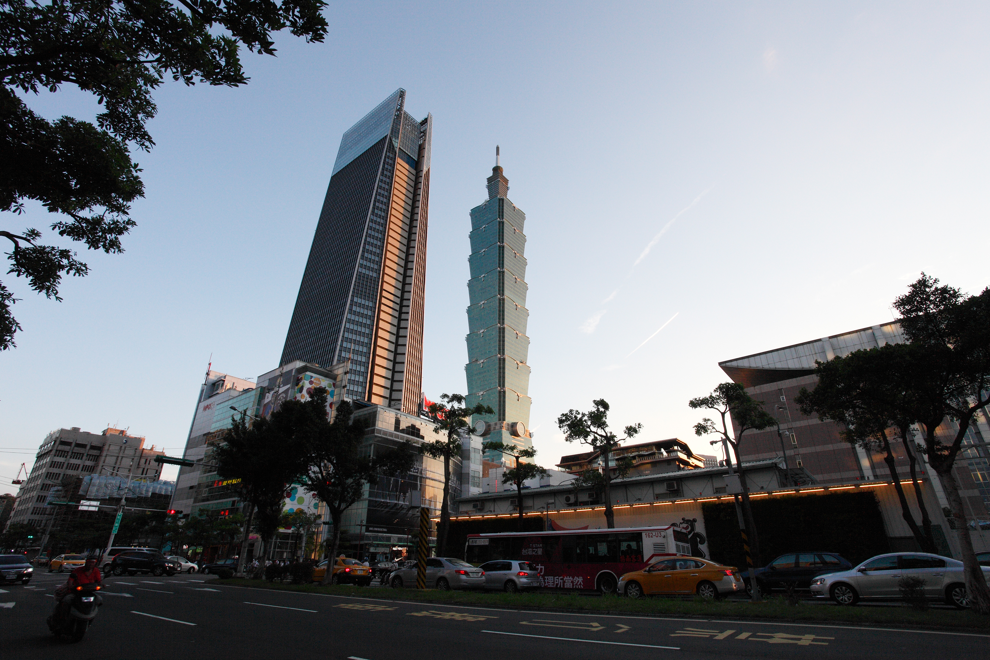
中文(臺灣):在臺北市信義區松仁路仰望臺北南山廣場與臺北101。 English: Taipei Nan Shan Plaza and Taipei 101 view from Songren Road, Xinyi District, Taipei City. |
| Date | |
| Source | https://www.flickr.com/photos/sfmine79/36036725656 |
| Author | MiNe |
| Camera location | | View this and other nearby images on: OpenStreetMap |
|---|
Licensing
edit
- Object
|
The reproduction of this architectural work is covered under Article 58 of Taiwan's "Copyright Act" (1992-2016-present), which allows the exploitation of architectural works in a public place. The author of the said architectural work, if known, must be attributed, in accordance with Article 64.
Taiwanese freedom of panorama also covers the use of artistic works found "on streets, in parks, on outside walls of buildings, or other outdoor locales open to the public" on a long-term basis, but this privilege no longer applies if the copies of the said works (including photographs of those) are made to be sold (that is, commercial use). Because of this non-commercial restriction, photographs of copyrighted monuments and murals from Taiwan are not allowed on Wikimedia Commons. See COM:CRT/Taiwan#Freedom of panorama for more information.
|
- Photograph
| This image was originally posted to Flickr by MiNe (sfmine79) at https://flickr.com/photos/8996753@N06/36036725656 (archive). It was reviewed on 25 December 2017 by FlickreviewR 2 and was confirmed to be licensed under the terms of the cc-by-2.0. |
This file is licensed under the Creative Commons Attribution 2.0 Generic license.
- You are free:
- to share – to copy, distribute and transmit the work
- to remix – to adapt the work
- Under the following conditions:
- attribution – You must give appropriate credit, provide a link to the license, and indicate if changes were made. You may do so in any reasonable manner, but not in any way that suggests the licensor endorses you or your use.
File history
Click on a date/time to view the file as it appeared at that time.
| Date/Time | Thumbnail | Dimensions | User | Comment | |
|---|---|---|---|---|---|
| current | 05:58, 25 December 2017 | | 3,240 × 2,160 (4.72 MB) | Adece033090 (talk | contribs) | User created page with UploadWizard |
You cannot overwrite this file.
File usage on Commons
The following page uses this file:
- File:Nan Shan Plaza and Taipei 101.jpg (file redirect)
File usage on other wikis
The following other wikis use this file:
- Usage on en.wikipedia.org
- Usage on uz.wikipedia.org