File:Taiyuan map 1954.jpg
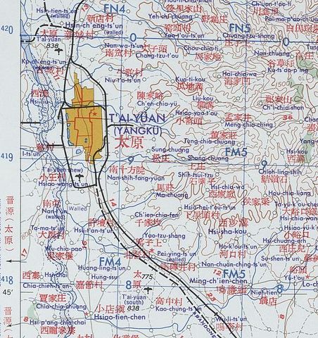
Size of this preview: 565 × 600 pixels. Other resolutions: 226 × 240 pixels | 452 × 480 pixels | 711 × 755 pixels.
Original file (711 × 755 pixels, file size: 164 KB, MIME type: image/jpeg)
Captions
Captions
Add a one-line explanation of what this file represents
Summary
edit
| Description |
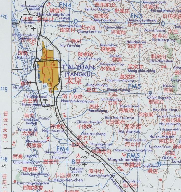
English: China at 1:250,000
|
| Source | http://www.lib.utexas.edu/maps/ams/china/txu-oclc-10552568-nj49-12.jpg |
| Author | U.S. Army Map Service |
Licensing
edit
| This work is from the Library of Congress. According to the library, there are no known copyright restrictions on the use of this work. |  |
File history
Click on a date/time to view the file as it appeared at that time.
| Date/Time | Thumbnail | Dimensions | User | Comment | |
|---|---|---|---|---|---|
| current | 17:24, 25 November 2009 | | 711 × 755 (164 KB) | Shypanda (talk | contribs) | {{Information |Description={{en|1=China 1:250,000 Series L500, U.S. Army Map Service, 1954-}} |Source=http://www.lib.utexas.edu/maps/ams/china/txu-oclc-10552568-nj49-12.jpg |Author=U.S. Army Map Service |Date= |Permission= |other_versions= }} |
You cannot overwrite this file.
File usage on Commons
There are no pages that use this file.
File usage on other wikis
The following other wikis use this file:
- Usage on ja.wikipedia.org