File:Takebashi Junction in May 2010.jpg
Size of this preview: 800 × 600 pixels. Other resolutions: 320 × 240 pixels | 640 × 480 pixels | 1,024 × 768 pixels | 1,280 × 960 pixels | 2,436 × 1,827 pixels.
Original file (2,436 × 1,827 pixels, file size: 2.05 MB, MIME type: image/jpeg)
Captions
Captions
Add a one-line explanation of what this file represents
Summary
edit
| Description |
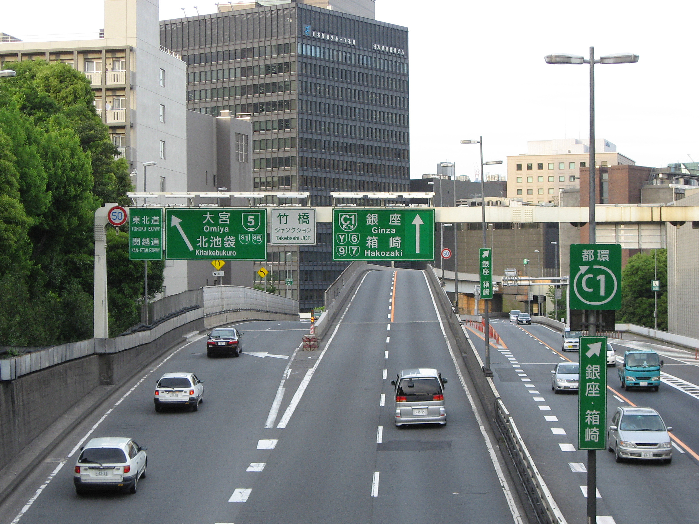
English: Takebashi Junction on the Inner Circular Route (Shuto Expressway) in Chiyoda-ku, Tokyo, Japan, photographed from the west side
|
| Date | |
| Source | Own work |
| Author | Nikm |
| Camera location | | View this and other nearby images on: OpenStreetMap |
|---|
Licensing
edit
| I, the copyright holder of this work, release this work into the public domain. This applies worldwide. In some countries this may not be legally possible; if so: I grant anyone the right to use this work for any purpose, without any conditions, unless such conditions are required by law. |
File history
Click on a date/time to view the file as it appeared at that time.
| Date/Time | Thumbnail | Dimensions | User | Comment | |
|---|---|---|---|---|---|
| current | 14:18, 26 May 2010 | | 2,436 × 1,827 (2.05 MB) | Nikm (talk | contribs) | {{Information |Description={{en|1=Takebashi Junction of Inner Circular Route (Shuto Expressway) photographed from the west side in Chiyoda-ku, Tokyo, Japan.}} {{ja|1=[[:ja:首都高速都心環状線|首都� |
You cannot overwrite this file.
File usage on Commons
The following page uses this file:
File usage on other wikis
The following other wikis use this file:
- Usage on ja.wikipedia.org
- Usage on www.wikidata.org
- Usage on zh.wikipedia.org