File:Tan Hill from Rybury Hillfort. - geograph.org.uk - 185597.jpg
No higher resolution available.
Tan_Hill_from_Rybury_Hillfort._-_geograph.org.uk_-_185597.jpg (640 × 420 pixels, file size: 101 KB, MIME type: image/jpeg)
Captions
Captions
Add a one-line explanation of what this file represents
Summary
edit
| Description |
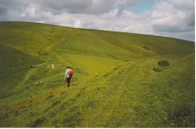
English: Tan Hill from Rybury Hillfort. In the foreground is the flat path which runs around prehistoric Rybury. The path is flanked in most areas by earthworks. The fort is an Iron Age camp built upon a Neolithic Hillfort and within the ring it is extremely hummocky and has numerous burrows. The path in the distance leads up to Tan Hill and the Wansdyke runs E-W over the skyline. |
| Date | |
| Source | From geograph.org.uk |
| Author | Colin Smith |
| Attribution (required by the license) | Colin Smith / Tan Hill from Rybury Hillfort. / |
| Camera location | | View this and other nearby images on: OpenStreetMap |
|---|
_heading:0.00&language=en)
| Object location | | View this and other nearby images on: OpenStreetMap |
|---|
_heading:0.00&language=en)
Licensing
edit

|
This image was taken from the Geograph project collection. See this photograph's page on the Geograph website for the photographer's contact details. The copyright on this image is owned by Colin Smith and is licensed for reuse under the Creative Commons Attribution-ShareAlike 2.0 license.
|
This file is licensed under the Creative Commons Attribution-Share Alike 2.0 Generic license.
Attribution: Colin Smith
- You are free:
- to share – to copy, distribute and transmit the work
- to remix – to adapt the work
- Under the following conditions:
- attribution – You must give appropriate credit, provide a link to the license, and indicate if changes were made. You may do so in any reasonable manner, but not in any way that suggests the licensor endorses you or your use.
- share alike – If you remix, transform, or build upon the material, you must distribute your contributions under the same or compatible license as the original.
- Remove redundant categories and try to put this image in the most specific category/categories
- Remove this template
- The location categories are based on information from this geonames tool and this OpenStreetMap tool combined with a database. You can also have a look at this tool from mysociety.
- The topic category from Geograph was Hill (find similar images at Geograph)
File history
Click on a date/time to view the file as it appeared at that time.
| Date/Time | Thumbnail | Dimensions | User | Comment | |
|---|---|---|---|---|---|
| current | 18:50, 31 January 2010 | | 640 × 420 (101 KB) | GeographBot (talk | contribs) | == {{int:filedesc}} == {{Information |description={{en|1=Tan Hill from Rybury Hillfort. In the foreground is the flat path which runs around prehistoric Rybury. The path is flanked in most areas by earthworks. The fort is an Iron Age camp built upon a Neo |
You cannot overwrite this file.
File usage on Commons
There are no pages that use this file.