File:Tanzawa-map 02-(Shuryo).gif
No higher resolution available.
Tanzawa-map_02-(Shuryo).gif (300 × 214 pixels, file size: 70 KB, MIME type: image/gif, looped, 3 frames, 3.0 s)
Captions
Captions
Add a one-line explanation of what this file represents
| Description | |||
| Date | |||
| Source | Own work | ||
| Author | Σ64 | ||
| Permission (Reusing this file) |
I, the copyright holder of this work, hereby publish it under the following licenses:
This file is licensed under the Creative Commons Attribution 3.0 Unported license.
You may select the license of your choice. |
||
| Other versions |
 |

File history
Click on a date/time to view the file as it appeared at that time.
| Date/Time | Thumbnail | Dimensions | User | Comment | |
|---|---|---|---|---|---|
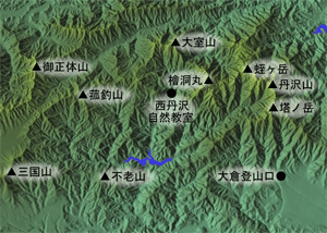
| current | 12:32, 7 March 2013 | | 300 × 214 (70 KB) | Σ64 (talk | contribs) | {{Information| |Source={{Own}} |Description={{lang|ja|丹沢山地(丹沢主稜)のCG画像。[http://www.kashmir3d.com/ カシミール3D]を使用し作成、その後Adobe Photoshopで編集。}} |Author... |
You cannot overwrite this file.
File usage on Commons
There are no pages that use this file.
File usage on other wikis
The following other wikis use this file:
- Usage on ja.wikipedia.org
.gif&oldid=647892379)