File:Tauherenikau River 74.jpg
Size of this preview: 800 × 600 pixels. Other resolutions: 320 × 240 pixels | 640 × 480 pixels | 1,024 × 768 pixels | 1,280 × 960 pixels | 2,048 × 1,536 pixels.
Original file (2,048 × 1,536 pixels, file size: 696 KB, MIME type: image/jpeg)
Captions
Captions
Add a one-line explanation of what this file represents
Summary
edit
| Description |
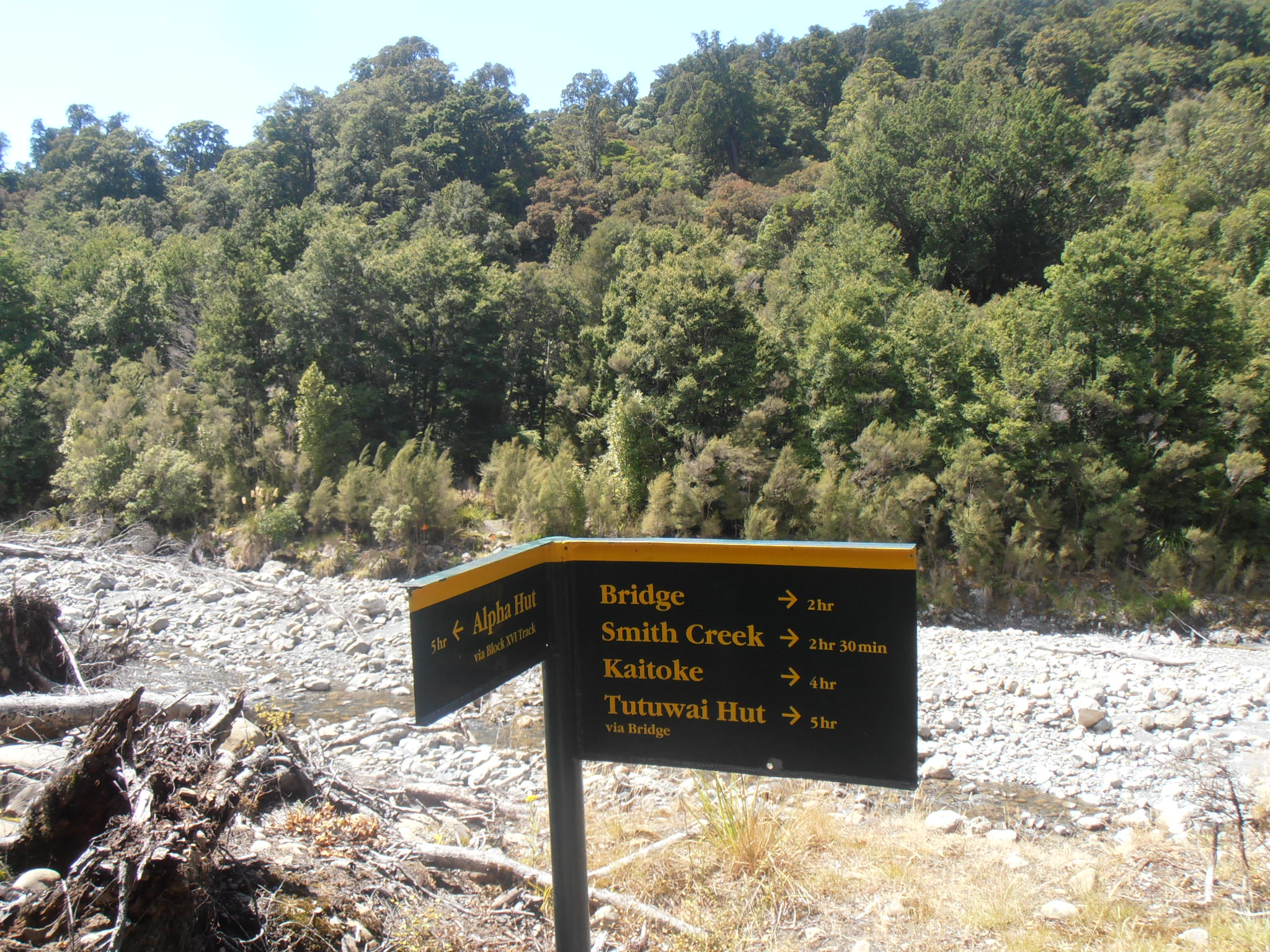
English: Signs at the Tauherenikau River. The signs are at the true right of the river, where Block XVI Track leads up to Marchant Ridge and Alpha Hut. |
| Date | |
| Source | Own work |
| Author | Sarang |
| Camera location | | View this and other nearby images on: OpenStreetMap |
|---|
Licensing
edit
| I, the copyright holder of this work, release this work into the public domain. This applies worldwide. In some countries this may not be legally possible; if so: I grant anyone the right to use this work for any purpose, without any conditions, unless such conditions are required by law. |
| Annotations | This image is annotated: View the annotations at Commons |
File history
Click on a date/time to view the file as it appeared at that time.
| Date/Time | Thumbnail | Dimensions | User | Comment | |
|---|---|---|---|---|---|
| current | 14:12, 10 September 2016 | | 2,048 × 1,536 (696 KB) | Sarang (talk | contribs) | == {{int:filedesc}} == {{Information |Description={{en|Signs at the {{W|Tauherenikau River}}.<nr> The signs are at the true right of the river, where Block XVI Track leads up to Marchant Ridge and {{C|Alpha Hut}}.<br> The river crossing can be avoided... |
You cannot overwrite this file.
File usage on Commons
The following page uses this file:
- File:Tauherenikau River 54.jpg (file redirect)