File:Tchagan-Kouren.png

Size of this preview: 800 × 553 pixels. Other resolutions: 320 × 221 pixels | 640 × 443 pixels | 1,024 × 708 pixels | 1,280 × 885 pixels | 2,560 × 1,771 pixels | 3,710 × 2,566 pixels.
Original file (3,710 × 2,566 pixels, file size: 13.06 MB, MIME type: image/png)
Captions
Captions
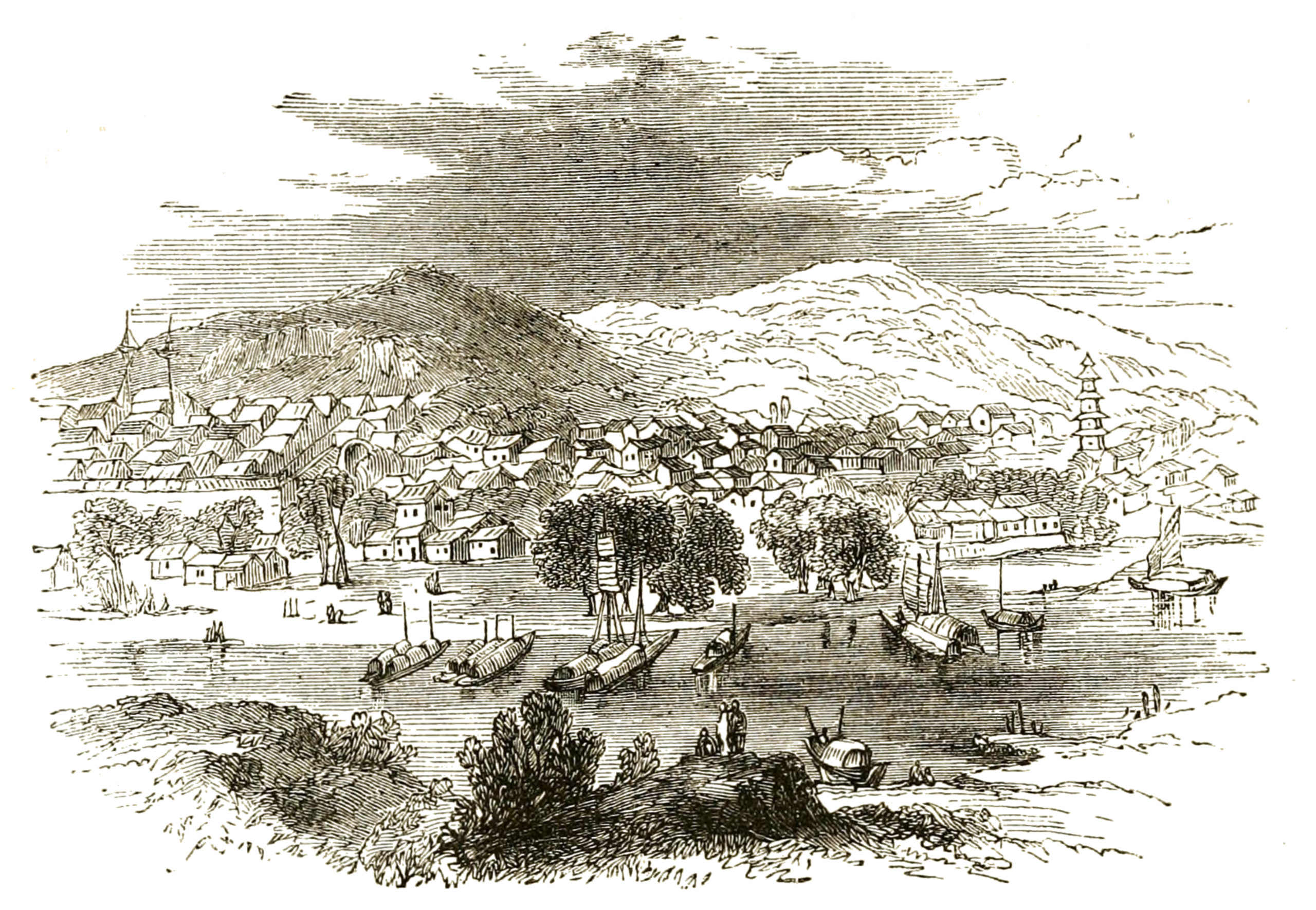
Hekou, Inner Mongolia, c. 1845
Summary edit
| Description |
English: An engraving of a landscape depicting the recent Qing town of Hekou (Chinese: 河口, "River Mouth") or Tchagan-Kouren (Mongolian: Цагаан Хүрээ, Tsagaan Hüree, "White Camp" or "Town") as described by the French missionary and explorer Abbé Huc on his journey to Tibet. Formerly an important location at the confluence of the Dahei and Yellow Rivers for caravans passing east and west between the Gobi and Ordos deserts. Now a village administered by the town of Shuanghe in Togtoh County, Hohhot Prefecture, Inner Mongolia, China. |
| Date | |
| Source | Travels in Tartary, Thibet, and China during the Years 1844–5–6, Vol. I, p. 128. |
| Author | Anonymous |
Licensing edit
|
This work is in the public domain in its country of origin and other countries and areas where the copyright term is the author's life plus 70 years or fewer. This work is in the public domain in the United States because it was published (or registered with the U.S. Copyright Office) before January 1, 1929. | |
| This file has been identified as being free of known restrictions under copyright law, including all related and neighboring rights. | |
This work is based on a work in the public domain. It has been digitally enhanced and/or modified. This derivative work has been (or is hereby) released into the public domain by its author, LlywelynII. This applies worldwide.
In some countries this may not be legally possible; if so: |
File history
Click on a date/time to view the file as it appeared at that time.
| Date/Time | Thumbnail | Dimensions | User | Comment | |
|---|---|---|---|---|---|
| current | 06:44, 28 July 2019 | | 3,710 × 2,566 (13.06 MB) | LlywelynII (talk | contribs) | User created page with UploadWizard |
You cannot overwrite this file.
File usage on Commons
The following page uses this file:
File usage on other wikis
The following other wikis use this file:
- Usage on en.wikipedia.org