File:Teffont Down near Teffont Magna 2 - geograph.org.uk - 879878.jpg
No higher resolution available.
Teffont_Down_near_Teffont_Magna_2_-_geograph.org.uk_-_879878.jpg (640 × 480 pixels, file size: 135 KB, MIME type: image/jpeg)
Captions
Captions
Add a one-line explanation of what this file represents
Summary edit
| Description |
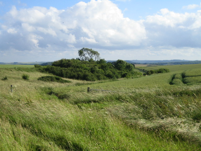
English: Teffont Down near Teffont Magna 2 This view looking south from the Ox Drove is of a very overgrown farm track that gradually descends the chalk downland of Teffont Down which is off camera to the left, and then swings round the clump of trees to head east. The only building near here marked on the OS map is Lush's Barn a bit further down. |
| Date | |
| Source | From geograph.org.uk |
| Author | Andy Gryce |
| Attribution (required by the license) | Andy Gryce / Teffont Down near Teffont Magna 2 / |
| Camera location | | View this and other nearby images on: OpenStreetMap |
|---|
_heading:202.00&language=en)
| Object location | | View this and other nearby images on: OpenStreetMap |
|---|
_heading:202.00&language=en)
Licensing edit

|
This image was taken from the Geograph project collection. See this photograph's page on the Geograph website for the photographer's contact details. The copyright on this image is owned by Andy Gryce and is licensed for reuse under the Creative Commons Attribution-ShareAlike 2.0 license.
|
This file is licensed under the Creative Commons Attribution-Share Alike 2.0 Generic license.
Attribution: Andy Gryce
- You are free:
- to share – to copy, distribute and transmit the work
- to remix – to adapt the work
- Under the following conditions:
- attribution – You must give appropriate credit, provide a link to the license, and indicate if changes were made. You may do so in any reasonable manner, but not in any way that suggests the licensor endorses you or your use.
- share alike – If you remix, transform, or build upon the material, you must distribute your contributions under the same or compatible license as the original.
File history
Click on a date/time to view the file as it appeared at that time.
| Date/Time | Thumbnail | Dimensions | User | Comment | |
|---|---|---|---|---|---|
| current | 10:14, 21 February 2011 | | 640 × 480 (135 KB) | GeographBot (talk | contribs) | == {{int:filedesc}} == {{Information |description={{en|1=Teffont Down near Teffont Magna 2 This view looking south from the Ox Drove is of a very overgrown farm track that gradually descends the chalk downland of Teffont Down which is off camera to the le |
You cannot overwrite this file.
File usage on Commons
There are no pages that use this file.