File:Tehran skyline view from top of Milad Tower 2011-09-28.jpg
Size of this preview: 800 × 533 pixels. Other resolutions: 320 × 213 pixels | 640 × 426 pixels | 1,024 × 682 pixels | 1,280 × 852 pixels | 3,066 × 2,041 pixels.
Original file (3,066 × 2,041 pixels, file size: 2.64 MB, MIME type: image/jpeg)
Captions
Captions
Add a one-line explanation of what this file represents
Summary
edit
| Description |
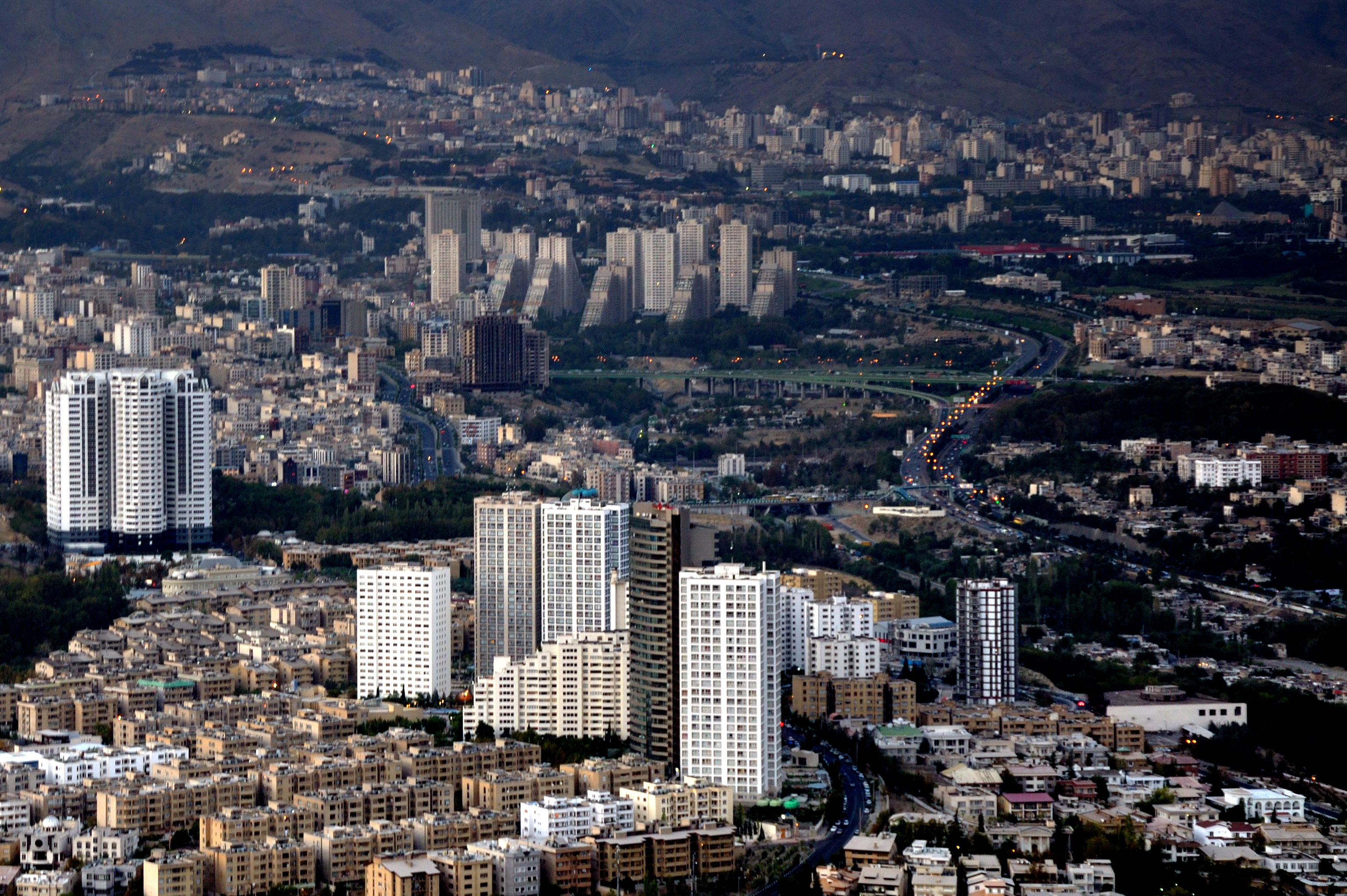
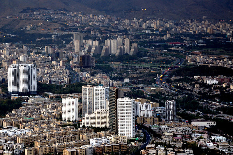
فارسی: چشمانداز خط آسمان تهران (شهرک غرب و آتیساز) از بالای برج میلاد - بخش شمال باختری تهران English: A view from Tehran skyline (North west of Tehran: Shahrak e Gharb district, Atisaz Residetial Towers and Chamran (Parkway) Expressway), Tehran, Iran |
| Date | Taken on 28 September 2011, 16:22:41 |
| Source | File:2011-09-28 16-22-41 Iran.jpg (cropped derivative of original) |
| Author | Simisa |
| Camera location | | View this and other nearby images on: OpenStreetMap |
|---|
Licensing
edit
This file is licensed under the Creative Commons Attribution-Share Alike 3.0 Unported license.
- You are free:
- to share – to copy, distribute and transmit the work
- to remix – to adapt the work
- Under the following conditions:
- attribution – You must give appropriate credit, provide a link to the license, and indicate if changes were made. You may do so in any reasonable manner, but not in any way that suggests the licensor endorses you or your use.
- share alike – If you remix, transform, or build upon the material, you must distribute your contributions under the same or compatible license as the original.
| Annotations | This image is annotated: View the annotations at Commons |
File history
Click on a date/time to view the file as it appeared at that time.
| Date/Time | Thumbnail | Dimensions | User | Comment | |
|---|---|---|---|---|---|
| current | 04:25, 21 January 2015 | | 3,066 × 2,041 (2.64 MB) | Msanta20 (talk | contribs) | User created page with UploadWizard |
You cannot overwrite this file.
File usage on Commons
There are no pages that use this file.
File usage on other wikis
The following other wikis use this file:
- Usage on ace.wikipedia.org
- Usage on arz.wikipedia.org
- Usage on azb.wikipedia.org
- Usage on en.wikipedia.org
- Usage on fa.wikipedia.org
- Usage on pnb.wikipedia.org