File:Tel Akko. (11 April,2015).XXXIII.jpg

Size of this preview: 800 × 600 pixels. Other resolutions: 320 × 240 pixels | 640 × 480 pixels | 1,024 × 768 pixels | 1,280 × 960 pixels | 2,560 × 1,920 pixels | 4,608 × 3,456 pixels.
Original file (4,608 × 3,456 pixels, file size: 4.17 MB, MIME type: image/jpeg)
Captions
Captions
Add a one-line explanation of what this file represents
Summary edit
.XXXIII.jpg&action=edit§ion=1)
| Description |
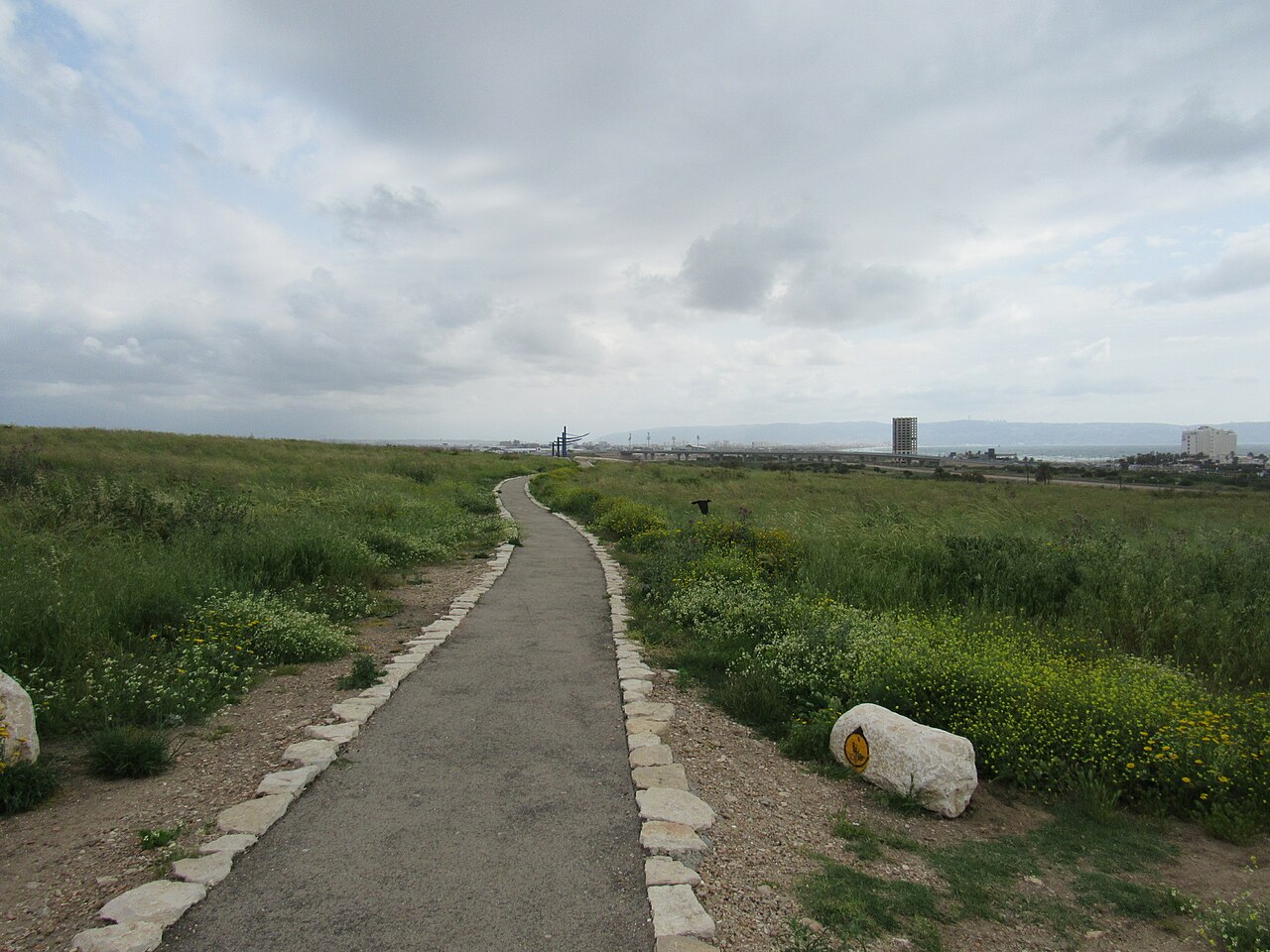
English: Tel Akko. (11 April,2015).XXXIII
עברית: תל עכו הוא תל בגובה של כשלושים מטר השוכן בחלק המזרחי של העיר עכו, סמוך מדרום לכביש 85. שטחו 200 דונם, אורכו כ-600 מטר ורוחבו המרבי הוא כ-350 מטר. התל ממוקם במרחק של כ-700 מטר מערבית לחוף הים, וכ-750 מטר מצפון לתוואי הנוכחי של נחל נעמן. בתל עכו שכנה העיר עכו החל מתחילת היישוב במקום בעת העתיקה, ועד שמוקד העיר נע בתחילת התקופה ההלניסטית, מערבה אל המקום בו שוכנת כיום עכו העתיקה. |
| Date | |
| Source | Own work |
| Author | Geagea |
| Object location | | View this and other nearby images on: OpenStreetMap |
|---|
.XXXIII.jpg¶ms=032.921020_N_0035.087710_E_globe:Earth_class:object_region:IL_type:mountain_&language=en)
Licensing edit
.XXXIII.jpg&action=edit§ion=2)
This file is licensed under the Creative Commons Attribution 4.0 International license.
- You are free:
- to share – to copy, distribute and transmit the work
- to remix – to adapt the work
- Under the following conditions:
- attribution – You must give appropriate credit, provide a link to the license, and indicate if changes were made. You may do so in any reasonable manner, but not in any way that suggests the licensor endorses you or your use.
File history
Click on a date/time to view the file as it appeared at that time.
| Date/Time | Thumbnail | Dimensions | User | Comment | |
|---|---|---|---|---|---|
| current | 07:04, 2 May 2015 | | 4,608 × 3,456 (4.17 MB) | Geagea (talk | contribs) |
You cannot overwrite this file.
File usage on Commons
There are no pages that use this file.
.XXXIII.jpg&oldid=676190297)