File:Templer Way, Lower Down - geograph.org.uk - 2134369.jpg
Size of this preview: 454 × 599 pixels. Other resolutions: 182 × 240 pixels | 485 × 640 pixels.
Original file (485 × 640 pixels, file size: 125 KB, MIME type: image/jpeg)
Captions
Captions
Add a one-line explanation of what this file represents
Summary
edit| Description |
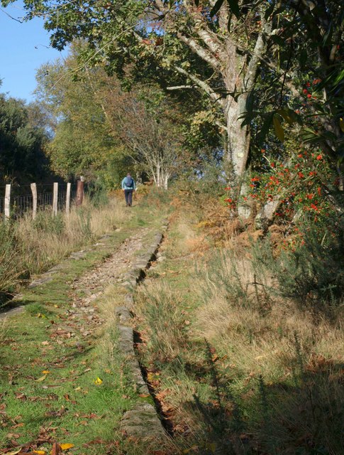
English: Templer Way, Lower Down, near to Brimley, Devon, Great Britain. The Haytor granite tramway curves gently as it climbs towards Yarner Wood, with holly berries to the right. |
||
| Date | |||
| Source | From geograph.org.uk | ||
| Author | Derek Harper | ||
| Permission (Reusing this file) |
This file is licensed under the Creative Commons Attribution-Share Alike 2.0 Generic license. Attribution: Derek Harper
|
||
| Attribution (required by the license) | Derek Harper / Templer Way, Lower Down / | ||

| Camera location | | View this and other nearby images on: OpenStreetMap |
|---|
| Object location | | View this and other nearby images on: OpenStreetMap |
|---|
_region:GB-GBN_heading:292.00&language=en)
File history
Click on a date/time to view the file as it appeared at that time.
| Date/Time | Thumbnail | Dimensions | User | Comment | |
|---|---|---|---|---|---|
| current | 02:03, 21 May 2011 | | 485 × 640 (125 KB) | File Upload Bot (Magnus Manske) (talk | contribs) |
You cannot overwrite this file.
File usage on Commons
There are no pages that use this file.