File:Templer Way - geograph.org.uk - 2134529.jpg
No higher resolution available.
Templer_Way_-_geograph.org.uk_-_2134529.jpg (640 × 480 pixels, file size: 123 KB, MIME type: image/jpeg)
Captions
Captions
Add a one-line explanation of what this file represents
Summary
edit| Description |
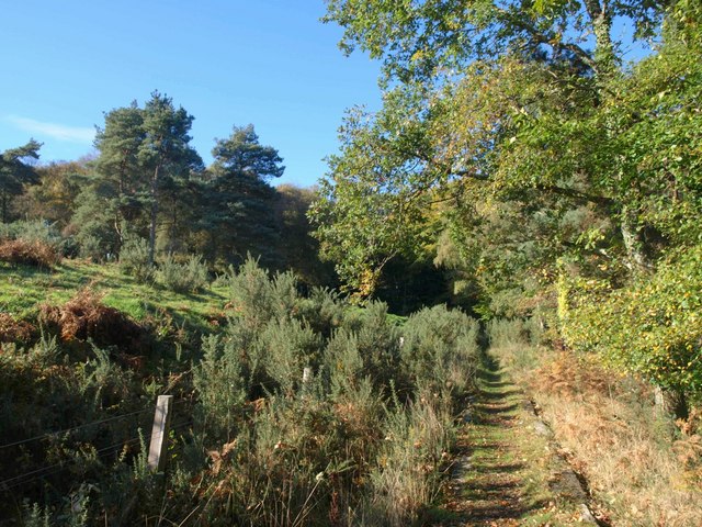
English: Templer Way, near to Brimley, Devon, Great Britain. The Way, following the Haytor granite tramway, within sight of the eastern edge of Yarner Wood, with gorse and pines on the slopes of Lower Down. |
||
| Date | |||
| Source | From geograph.org.uk | ||
| Author | Derek Harper | ||
| Permission (Reusing this file) |
This file is licensed under the Creative Commons Attribution-Share Alike 2.0 Generic license. Attribution: Derek Harper
|
||
| Attribution (required by the license) | Derek Harper / Templer Way / | ||

| Camera location | | View this and other nearby images on: OpenStreetMap |
|---|
| Object location | | View this and other nearby images on: OpenStreetMap |
|---|
_region:GB-GBN_heading:270.00&language=en)
File history
Click on a date/time to view the file as it appeared at that time.
| Date/Time | Thumbnail | Dimensions | User | Comment | |
|---|---|---|---|---|---|
| current | 02:30, 21 May 2011 | | 640 × 480 (123 KB) | File Upload Bot (Magnus Manske) (talk | contribs) |
You cannot overwrite this file.
File usage on Commons
There are no pages that use this file.