File:The Abidar.jpg
Size of this preview: 800 × 534 pixels. Other resolutions: 320 × 214 pixels | 640 × 427 pixels | 1,024 × 683 pixels | 1,280 × 854 pixels | 2,560 × 1,708 pixels | 3,648 × 2,434 pixels.
Original file (3,648 × 2,434 pixels, file size: 788 KB, MIME type: image/jpeg)
File information
Structured data
Captions
Summary
editDescriptionThe Abidar.jpg |
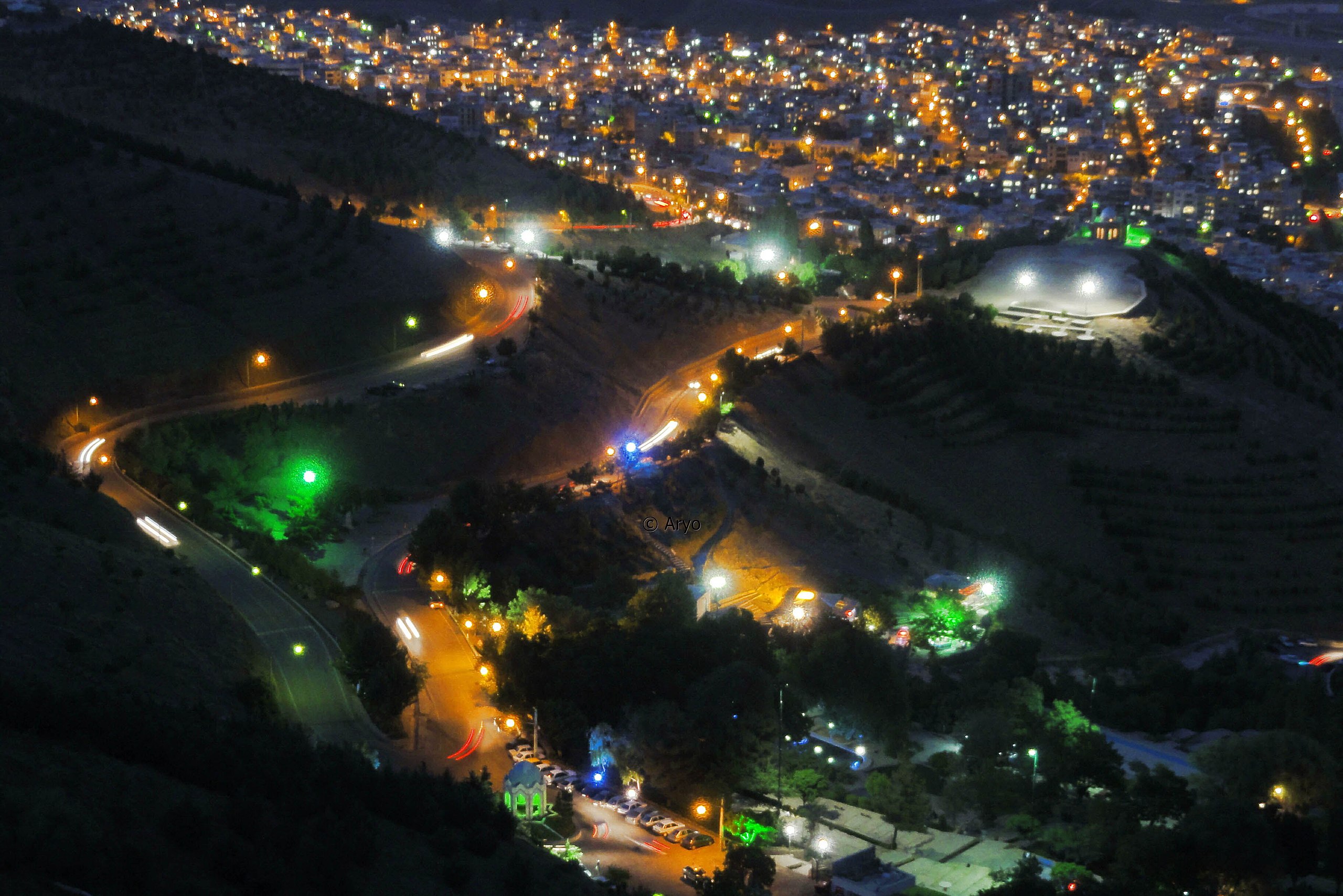
فارسی: پارک امیریه در دامنهٔ کوه آبیدر |
Source | |
Author | آریو زارعی |
Licensing
editThis file is licensed under the Creative Commons Attribution-Share Alike 3.0 Unported license.
- You are free:
- to share – to copy, distribute and transmit the work
- to remix – to adapt the work
- Under the following conditions:
- attribution – You must give appropriate credit, provide a link to the license, and indicate if changes were made. You may do so in any reasonable manner, but not in any way that suggests the licensor endorses you or your use.
- share alike – If you remix, transform, or build upon the material, you must distribute your contributions under the same or compatible license as the original.
File history
Click on a date/time to view the file as it appeared at that time.
Date/Time | Thumbnail | Dimensions | User | Comment | |
---|---|---|---|---|---|
current | 18:18, 4 December 2012 | 3,648 × 2,434 (788 KB) | Dalba (talk | contribs) | بخش تبلیغی زیر تصویر حذف شد | |
17:27, 21 November 2012 | 3,648 × 2,736 (748 KB) | Aryo.Z (talk | contribs) | عکاس: آریو زارعی https://www.facebook.com/SanandajPictures |
You cannot overwrite this file.
File usage on Commons
There are no pages that use this file.
File usage on other wikis
The following other wikis use this file:
- Usage on fa.wikipedia.org
Metadata
This file contains additional information such as Exif metadata which may have been added by the digital camera, scanner, or software program used to create or digitize it. If the file has been modified from its original state, some details such as the timestamp may not fully reflect those of the original file. The timestamp is only as accurate as the clock in the camera, and it may be completely wrong.
Image title | |
---|---|
Camera manufacturer | SONY |
Camera model | DSC-HX5V |
Exposure time | 2/1 sec (2) |
F-number | f/4.5 |
Date and time of data generation | 21:02, 30 May 2012 |
Lens focal length | 11.76 mm |
Latitude | 35° 18′ 15.8″ N |
Longitude | 46° 58′ 10.69″ E |
Altitude | 1,872 meters above sea level |
Width | 3,648 px |
Height | 2,736 px |
Bits per component |
|
Pixel composition | RGB |
Orientation | Normal |
Number of components | 3 |
Software used | Adobe Photoshop CS6 (Windows) |
File change date and time | 02:12, 21 November 2012 |
Color space transformation matrix coefficients |
|
Y and C positioning | Centered |
Pair of black and white reference values |
|
Exposure Program | Not defined |
Exif version | 2.21 |
Date and time of digitizing | 21:02, 30 May 2012 |
Image compression mode | 4 |
APEX shutter speed | 0 |
APEX aperture | 0 |
APEX brightness | 0 |
APEX exposure bias | 0 |
Maximum land aperture | 3.625 APEX (f/3.51) |
Subject distance | 0 meters |
Metering mode | Pattern |
Light source | Unknown |
Flash | Flash did not fire, compulsory flash suppression |
DateTime subseconds | 13 |
DateTimeOriginal subseconds | 00 |
DateTimeDigitized subseconds | 00 |
Supported Flashpix version | 1 |
Focal plane X resolution | 0 |
Focal plane Y resolution | 0 |
Focal plane resolution unit | 0 |
Exposure index | 0 |
Sensing method | 0 |
File source | 51 |
Scene type | 49 |
Exposure mode | Auto exposure |
White balance | Auto white balance |
Digital zoom ratio | 0 |
Focal length in 35 mm film | 0 mm |
Scene capture type | Night scene |
Scene control | None |
Contrast | Normal |
Saturation | Normal |
Sharpness | Normal |
Subject distance range | Unknown |
GPS time (atomic clock) | 16:32:13.154 |
Receiver status | Measurement in progress |
Measurement mode | 3-dimensional measurement |
Measurement precision | Excellent (0) |
Speed unit | Kilometers per hour |
Speed of GPS receiver | 1.2 |
Reference for direction of movement | True direction |
Direction of movement | 190.04 |
Reference for direction of image | Magnetic direction |
Direction of image | 9.75 |
Geodetic survey data used | WGS-84 |
Latitude destination | 0° 0′ 0″ N |
Longitude of destination | 0° 0′ 0″ E |
Bearing of destination | 0 |
Distance to destination | 0 |
GPS date | 30 May 2012 |
GPS tag version | 2.2.0.0 |