File:The Collegiate Atlas 1876 (82450973).jpg

Size of this preview: 752 × 600 pixels. Other resolutions: 301 × 240 pixels | 602 × 480 pixels | 963 × 768 pixels | 1,280 × 1,021 pixels | 2,560 × 2,041 pixels | 8,367 × 6,671 pixels.
Original file (8,367 × 6,671 pixels, file size: 7.74 MB, MIME type: image/jpeg)
Captions
Captions
Add a one-line explanation of what this file represents
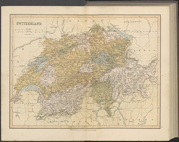
| The Collegiate Atlas : consisting of forty maps of modern geography, embracing all the latest discoveries and changes in boundaries, and eighteen maps of historical geography : with a copious index. | ||||||||||||||||||||||||
|---|---|---|---|---|---|---|---|---|---|---|---|---|---|---|---|---|---|---|---|---|---|---|---|---|
| Author |
Unknown author |
|||||||||||||||||||||||
| Title |
The Collegiate Atlas : consisting of forty maps of modern geography, embracing all the latest discoveries and changes in boundaries, and eighteen maps of historical geography : with a copious index. |
|||||||||||||||||||||||
| Publisher |
William Collins Sons & Co. Wydawca |
|||||||||||||||||||||||
| Description |
Polski: Adres wydawniczy: Glasgow ; London ; Edinburgh : William Collins, Sons, & Company, [1876] Opis fizyczny: 1 atlas ([2] karty, 50 tablic rozkładanych, 48 stron) : mapy, tekst ; 28 cm |
|||||||||||||||||||||||
| Language | English | |||||||||||||||||||||||
| Publication date | 1876 | |||||||||||||||||||||||
| Collection |
|
|||||||||||||||||||||||
| Accession number |
ZZK 0.4 304 |
|||||||||||||||||||||||
| Place of publication | Glasgow ; London ; Edinburgh | |||||||||||||||||||||||
| Source |
|
|||||||||||||||||||||||
| Permission (Reusing this file) |
|
|||||||||||||||||||||||


|
This file was uploaded to Wikimedia Commons as part of a GLAM-Wiki partnership between the National Library of Poland and Wikimedia Polska.
|
File history
Click on a date/time to view the file as it appeared at that time.
| Date/Time | Thumbnail | Dimensions | User | Comment | |
|---|---|---|---|---|---|
| current | 18:12, 2 June 2023 | | 8,367 × 6,671 (7.74 MB) | Polona Upload (talk | contribs) |
You cannot overwrite this file.
File usage on Commons
The following page uses this file:
.jpg)
.jpg&oldid=802140954)