File:The Dene, Edinburgh 002.jpg

Size of this preview: 450 × 600 pixels. Other resolutions: 180 × 240 pixels | 360 × 480 pixels | 576 × 768 pixels | 768 × 1,024 pixels | 2,304 × 3,072 pixels.
Original file (2,304 × 3,072 pixels, file size: 4.88 MB, MIME type: image/jpeg)
Captions
Captions
Add a one-line explanation of what this file represents
Summary
edit
| Description |
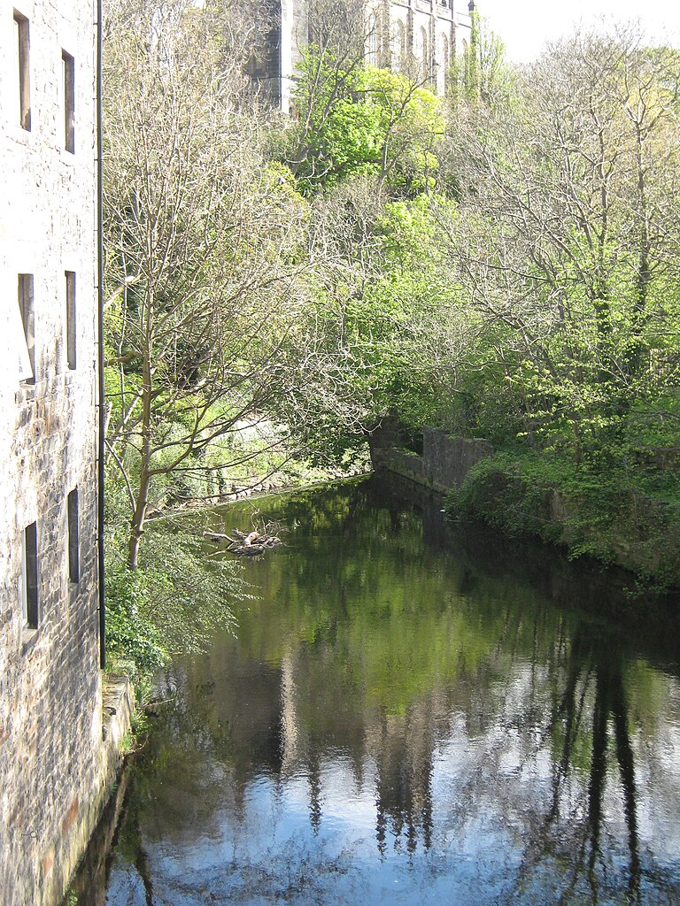
English: The Dene, Edinburgh.
This is one of several images showing what is signposted as "The Dene", starting at the top of Miller Row, looking onto the Water of Leith and the weir which powered eleven water mills, following down to Dean Bridge, and further along the walk to St Bernard's bridge. View downstream from the bridge to the weir which powered 11 watermills. OSM Permalink: http://www.openstreetmap.org/?lat=55.952316&lon=-3.216474&zoom=18&layers=M |
| Date | |
| Source | Own work |
| Author | Brian McNeil |
| Camera location | | View this and other nearby images on: OpenStreetMap |
|---|
Licensing
edit
I, the copyright holder of this work, hereby publish it under the following license:
This file is licensed under the Creative Commons Attribution 3.0 Unported license.
- You are free:
- to share – to copy, distribute and transmit the work
- to remix – to adapt the work
- Under the following conditions:
- attribution – You must give appropriate credit, provide a link to the license, and indicate if changes were made. You may do so in any reasonable manner, but not in any way that suggests the licensor endorses you or your use.
File history
Click on a date/time to view the file as it appeared at that time.
| Date/Time | Thumbnail | Dimensions | User | Comment | |
|---|---|---|---|---|---|
| current | 11:21, 4 May 2012 | | 2,304 × 3,072 (4.88 MB) | Brian McNeil (talk | contribs) |
You cannot overwrite this file.
File usage on Commons
There are no pages that use this file.