File:The River Orle.jpg

Size of this preview: 800 × 450 pixels. Other resolutions: 320 × 180 pixels | 640 × 360 pixels | 1,024 × 576 pixels | 1,280 × 720 pixels | 2,560 × 1,440 pixels | 4,000 × 2,250 pixels.
Original file (4,000 × 2,250 pixels, file size: 624 KB, MIME type: image/jpeg)
Captions
Captions
Add a one-line explanation of what this file represents
Summary
edit
| Description |
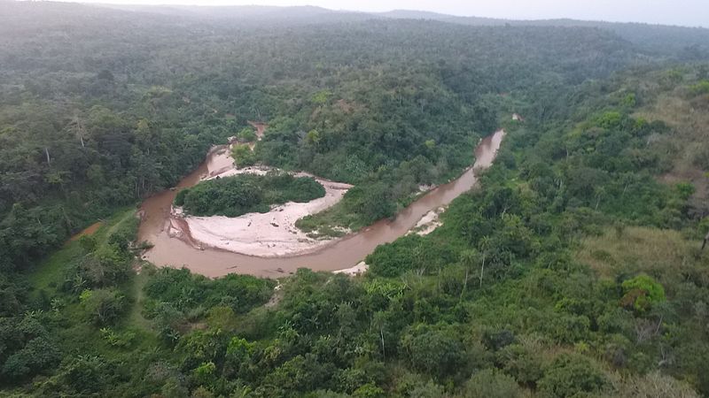
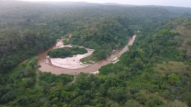
English: This is the section of the River Orle runs through Osihomole village, Warrake road, Auchi |
| Date | |
| Source | Own work |
| Author | Chisco9ogie |
| Camera location | | View this and other nearby images on: OpenStreetMap |
|---|
This is the section of the River Orle runs through Osihomole village, Warrake road, Auchi. It is adjacent to the Oshiomole mega Mall and convention centre which will be completed by the end of 2017
Licensing
edit
I, the copyright holder of this work, hereby publish it under the following license:
This file is licensed under the Creative Commons Attribution-Share Alike 4.0 International license.
- You are free:
- to share – to copy, distribute and transmit the work
- to remix – to adapt the work
- Under the following conditions:
- attribution – You must give appropriate credit, provide a link to the license, and indicate if changes were made. You may do so in any reasonable manner, but not in any way that suggests the licensor endorses you or your use.
- share alike – If you remix, transform, or build upon the material, you must distribute your contributions under the same or compatible license as the original.
File history
Click on a date/time to view the file as it appeared at that time.
| Date/Time | Thumbnail | Dimensions | User | Comment | |
|---|---|---|---|---|---|
| current | 23:43, 23 December 2016 | | 4,000 × 2,250 (624 KB) | Chisco9ogie (talk | contribs) | User created page with UploadWizard |
You cannot overwrite this file.
File usage on Commons
There are no pages that use this file.
File usage on other wikis
The following other wikis use this file:
- Usage on en.wikipedia.org