File:The site of Bellshiel Pit Cottage - geograph.org.uk - 657191.jpg
No higher resolution available.
The_site_of_Bellshiel_Pit_Cottage_-_geograph.org.uk_-_657191.jpg (640 × 480 pixels, file size: 66 KB, MIME type: image/jpeg)
Captions
Captions
Add a one-line explanation of what this file represents
Summary edit
| Description |
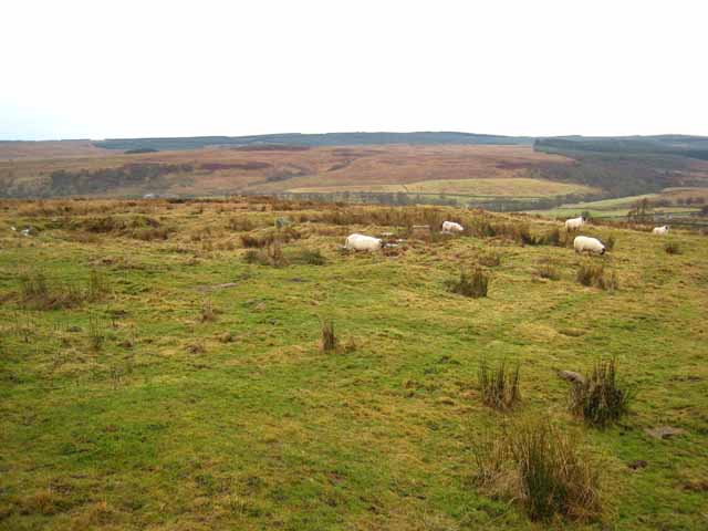
English: The site of Bellshiel Pit Cottage One of the many archaeological sites within the MOD Otterburn Training Area http://www.army.mod.uk/ate/public/otterburn.htm . The ruins of a cottage lie by the Bellshiel Road and were recorded in the 1970s. The cottage measures 10m by 5m and had two rooms. Old documents show that it existed both in 1719 and in 1935. Nearby are over eleven bell pits and six waste heaps from post-medieval mining activity http://www.keystothepast.info/durhamcc/K2P.nsf/K2PDetail?readform&PRNMAP=N8127 . Redesdale lies in the middle distance with Kielder Forest beyond. |
| Date | |
| Source | From geograph.org.uk |
| Author | Oliver Dixon |
| Attribution (required by the license) | Oliver Dixon / The site of Bellshiel Pit Cottage / |
| Camera location | | View this and other nearby images on: OpenStreetMap |
|---|
_heading:180.00&language=en)
| Object location | | View this and other nearby images on: OpenStreetMap |
|---|
_heading:180.00&language=en)
Licensing edit

|
This image was taken from the Geograph project collection. See this photograph's page on the Geograph website for the photographer's contact details. The copyright on this image is owned by Oliver Dixon and is licensed for reuse under the Creative Commons Attribution-ShareAlike 2.0 license.
|
This file is licensed under the Creative Commons Attribution-Share Alike 2.0 Generic license.
Attribution: Oliver Dixon
- You are free:
- to share – to copy, distribute and transmit the work
- to remix – to adapt the work
- Under the following conditions:
- attribution – You must give appropriate credit, provide a link to the license, and indicate if changes were made. You may do so in any reasonable manner, but not in any way that suggests the licensor endorses you or your use.
- share alike – If you remix, transform, or build upon the material, you must distribute your contributions under the same or compatible license as the original.
File history
Click on a date/time to view the file as it appeared at that time.
| Date/Time | Thumbnail | Dimensions | User | Comment | |
|---|---|---|---|---|---|
| current | 16:29, 7 February 2011 | | 640 × 480 (66 KB) | GeographBot (talk | contribs) | == {{int:filedesc}} == {{Information |description={{en|1=The site of Bellshiel Pit Cottage One of the many archaeological sites within the MOD Otterburn Training Area http://www.army.mod.uk/ate/public/otterburn.htm . The ruins of a cottage lie by the Bell |
You cannot overwrite this file.
File usage on Commons
There are no pages that use this file.