File:The upper territories of the United States - DPLA - 5c9c283cd74aeb6314a5faeba3863d1f.jpg

Size of this preview: 468 × 600 pixels. Other resolutions: 187 × 240 pixels | 374 × 480 pixels | 599 × 768 pixels | 799 × 1,024 pixels | 1,597 × 2,048 pixels | 5,086 × 6,520 pixels.
Original file (5,086 × 6,520 pixels, file size: 3.32 MB, MIME type: image/jpeg)
Captions
Captions
Add a one-line explanation of what this file represents
Summary
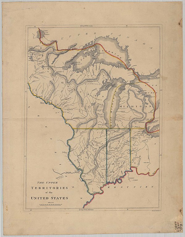
edit| The upper territories of the United States
( |
|||||||||||||||||||||
|---|---|---|---|---|---|---|---|---|---|---|---|---|---|---|---|---|---|---|---|---|---|
| Creator | Kneass,William (1780-1840); Delleker, George | ||||||||||||||||||||
| Title |
The upper territories of the United States |
||||||||||||||||||||
| Description |
While the map includes the Indiana Territory, this map shows detail of the Upper Territories, of the remaining Northwest Territory. |
||||||||||||||||||||
| Date | 1814 | ||||||||||||||||||||
| Collection |
|
||||||||||||||||||||
| Source/Photographer |
|
||||||||||||||||||||
| Permission (Reusing this file) |
|
||||||||||||||||||||
| Standardized rights statement |
|
||||||||||||||||||||


File history
Click on a date/time to view the file as it appeared at that time.
| Date/Time | Thumbnail | Dimensions | User | Comment | |
|---|---|---|---|---|---|
| current | 13:36, 6 May 2020 | | 5,086 × 6,520 (3.32 MB) | DPLA bot (talk | contribs) | Uploading DPLA ID 5c9c283cd74aeb6314a5faeba3863d1f |
You cannot overwrite this file.
File usage on Commons
The following page uses this file: