File:Theewaterskloof between Grabouw and Villiersdorp, South Africa.jpg
Size of this preview: 800 × 536 pixels. Other resolutions: 320 × 214 pixels | 640 × 429 pixels | 1,024 × 686 pixels | 1,280 × 857 pixels.
Original file (1,280 × 857 pixels, file size: 132 KB, MIME type: image/jpeg)
Captions
Captions
Add a one-line explanation of what this file represents
Summary edit
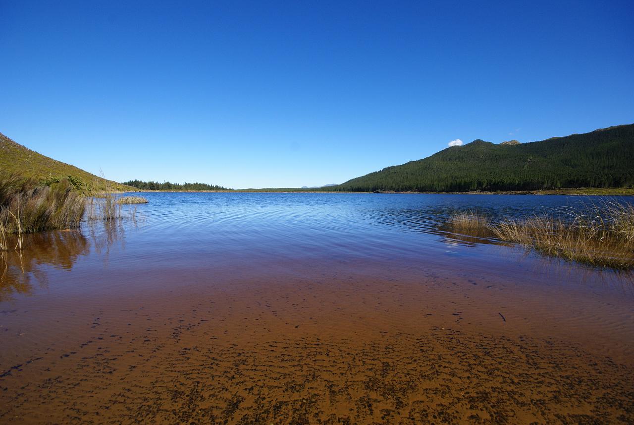
| Description | Lake of Theewaterskloof Dam in South Africa betwenn Grabouw and Villiersdorp. |
| Date | |
| Source | Lake between Grabouw and Villiersdorp, South Africa |
| Author | Danie van der Merwe from Cape Town, South Africa |
| Camera location | | View this and other nearby images on: OpenStreetMap |
|---|
Licensing edit
This file is licensed under the Creative Commons Attribution 2.0 Generic license.
- You are free:
- to share – to copy, distribute and transmit the work
- to remix – to adapt the work
- Under the following conditions:
- attribution – You must give appropriate credit, provide a link to the license, and indicate if changes were made. You may do so in any reasonable manner, but not in any way that suggests the licensor endorses you or your use.
| This image, originally posted to Flickr, was reviewed on January 11, 2009 by the administrator or reviewer File Upload Bot (Magnus Manske), who confirmed that it was available on Flickr under the stated license on that date. |
File history
Click on a date/time to view the file as it appeared at that time.
| Date/Time | Thumbnail | Dimensions | User | Comment | |
|---|---|---|---|---|---|
| current | 18:24, 11 January 2009 | | 1,280 × 857 (132 KB) | File Upload Bot (Magnus Manske) (talk | contribs) | {{Information |Description= |Source=[http://www.flickr.com/photos/12915821@N00/2775688820/ Lake between Grabouw and Villiersdorp, South Africa] * Uploaded by Martin H. |Date=August 17, 2008 at 12:36 |Author=[http://www.flickr.com/peop |
You cannot overwrite this file.
File usage on Commons
The following 2 pages use this file:
File usage on other wikis
The following other wikis use this file:
- Usage on fa.wikipedia.org
- Usage on ha.wikipedia.org
- Usage on hu.wikipedia.org
- Usage on www.wikidata.org