File:Tiergehege - panoramio.jpg

Size of this preview: 800 × 600 pixels. Other resolutions: 320 × 240 pixels | 640 × 480 pixels | 1,024 × 768 pixels | 1,280 × 960 pixels | 2,560 × 1,920 pixels | 3,648 × 2,736 pixels.
Original file (3,648 × 2,736 pixels, file size: 886 KB, MIME type: image/jpeg)
Captions
Captions
Add a one-line explanation of what this file represents
Summary
edit
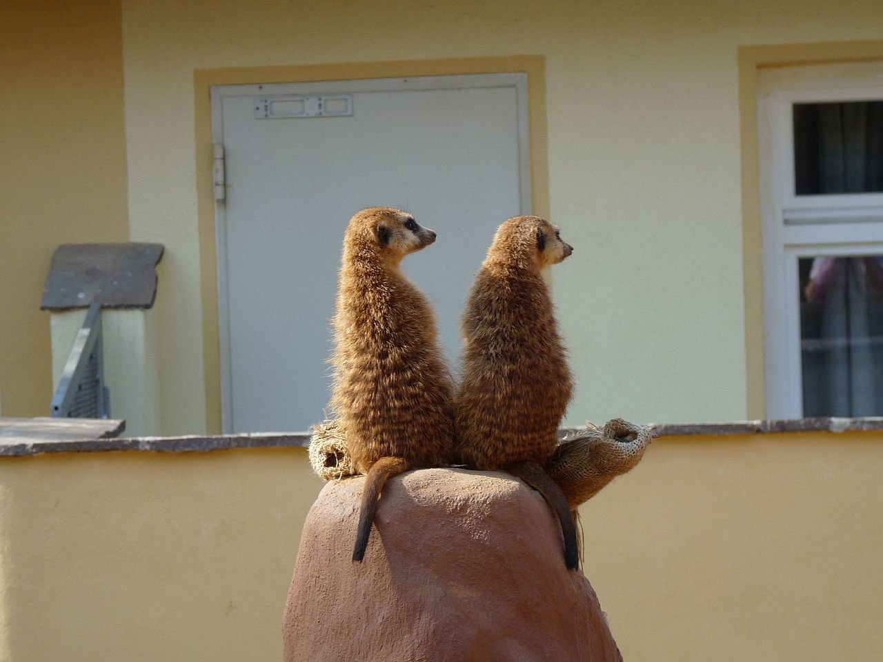
| Description | Tiergehege | ||
| Date | Taken on 24 April 2010 | ||
| Source | https://web.archive.org/web/20161023143245/http://www.panoramio.com/photo/56151290 | ||
| Author | Alex All | ||
| Permission (Reusing this file) |
This file is licensed under the Creative Commons Attribution 3.0 Unported license. Attribution: Alex All
|
||
| Tags (from Panoramio photo page) | Lossatal |
| Camera location | | View this and other nearby images on: OpenStreetMap |
|---|
File history
Click on a date/time to view the file as it appeared at that time.
| Date/Time | Thumbnail | Dimensions | User | Comment | |
|---|---|---|---|---|---|
| current | 18:03, 3 December 2016 | | 3,648 × 2,736 (886 KB) | Panoramio upload bot (talk | contribs) | == {{int:filedesc}} == {{Information |description=Tiergehege |date={{Taken on|2010-04-24}} |source=http://www.panoramio.com/photo/56151290 |author=[http://www.panoramio.com/user/4791461?with_photo_id=56151290 Alex All] |permission={{cc-by-3.0|Alex All}... |
You cannot overwrite this file.
File usage on Commons
There are no pages that use this file.