File:Tinder Fire (41811291621).jpg

Size of this preview: 800 × 533 pixels. Other resolutions: 320 × 213 pixels | 640 × 427 pixels | 1,024 × 683 pixels | 1,280 × 853 pixels | 2,560 × 1,707 pixels | 6,000 × 4,000 pixels.
Original file (6,000 × 4,000 pixels, file size: 14.82 MB, MIME type: image/jpeg)
Captions
Captions
Add a one-line explanation of what this file represents
Summary
edit.jpg&action=edit§ion=1)
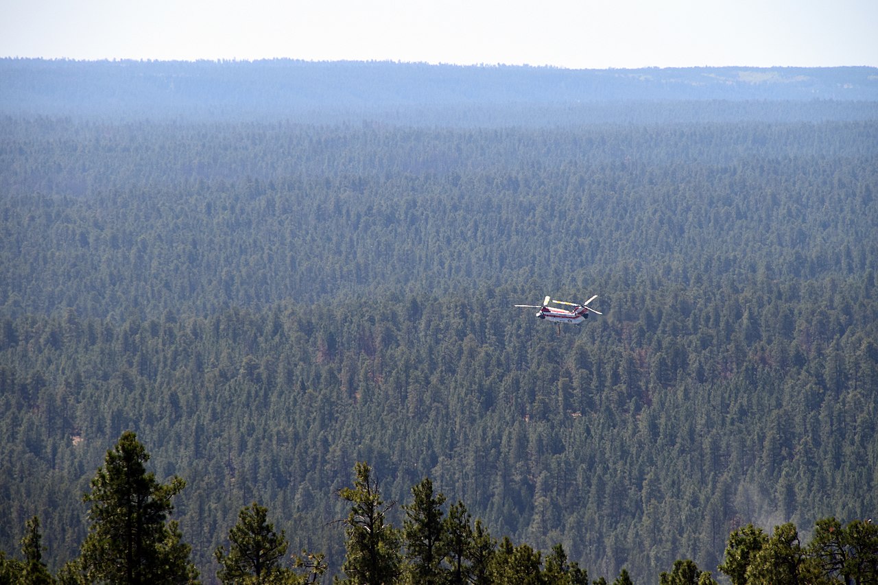
| Description | As seen from Moqui Lookout Tower the morning of April 30, 2018 (looking southwest). At this point it had already burned approximately 8,200 acres. Photo by Brady Smith. Credit: Coconino National Forest. |
| Date | |
| Source | Tinder Fire |
| Author | Coconino National Forest |
| Camera location | | View this and other nearby images on: OpenStreetMap |
|---|
.jpg¶ms=034.564879_N_-111.169162_E_globe:Earth_type:camera_source:Flickr_&language=en)
Licensing
edit.jpg&action=edit§ion=2)
| This image was originally posted to Flickr by Coconino National Forest at https://flickr.com/photos/42034606@N05/41811291621 (archive). It was reviewed on 7 September 2018 by FlickreviewR 2 and was confirmed to be licensed under the terms of the Public Domain Mark. |
This image or file is a work of a United States Department of Agriculture employee, taken or made as part of that person's official duties. As a work of the U.S. federal government, the image is in the public domain.
|
 |
File history
Click on a date/time to view the file as it appeared at that time.
| Date/Time | Thumbnail | Dimensions | User | Comment | |
|---|---|---|---|---|---|
| current | 23:01, 7 September 2018 | | 6,000 × 4,000 (14.82 MB) | Tyler ser Noche (talk | contribs) | Transferred from Flickr via #flickr2commons |
You cannot overwrite this file.
File usage on Commons
There are no pages that use this file.
.jpg&oldid=892945791)