File:Tioman.jpg

Size of this preview: 541 × 600 pixels. Other resolutions: 217 × 240 pixels | 591 × 655 pixels.
Original file (591 × 655 pixels, file size: 59 KB, MIME type: image/jpeg)
Captions
Captions
Add a one-line explanation of what this file represents
Summary edit
| Description |
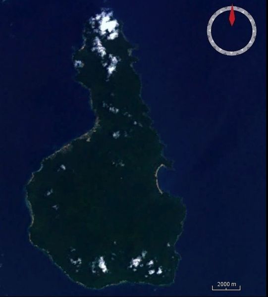
English: Satellite image of Tioman from worldwind
Deutsch: Satellitenfoto der Insel Tioman aus Worldwind |
| Date | |
| Source | worldwind |
| Author | Peter in s |
Licensing edit
| This image is in the public domain because it is a screenshot from NASA’s globe software World Wind using a public domain layer, such as Blue Marble, MODIS, Landsat, SRTM, USGS or GLOBE.
|
 |
File history
Click on a date/time to view the file as it appeared at that time.
| Date/Time | Thumbnail | Dimensions | User | Comment | |
|---|---|---|---|---|---|
| current | 11:50, 12 April 2011 | | 591 × 655 (59 KB) | Peter in s (talk | contribs) | {{Information |Description ={{en|1=Satellite image of Tioman from worldwind}} {{de|1=Satellitenfoto der Insel Tioman aus Worldwind}} |Source =worldwind |Author =Peter in s |Date =2011.04,10 |Permission |
You cannot overwrite this file.
File usage on Commons
The following page uses this file:
File usage on other wikis
The following other wikis use this file:
- Usage on fr.wikipedia.org