File:Toll Florida 429.svg

Original file (SVG file, nominally 385 × 481 pixels, file size: 7 KB)
Captions
Captions
| This image of simple geometry is ineligible for copyright and therefore in the public domain, because it consists entirely of information that is common property and contains no original authorship. |  |
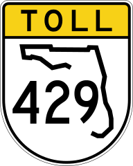
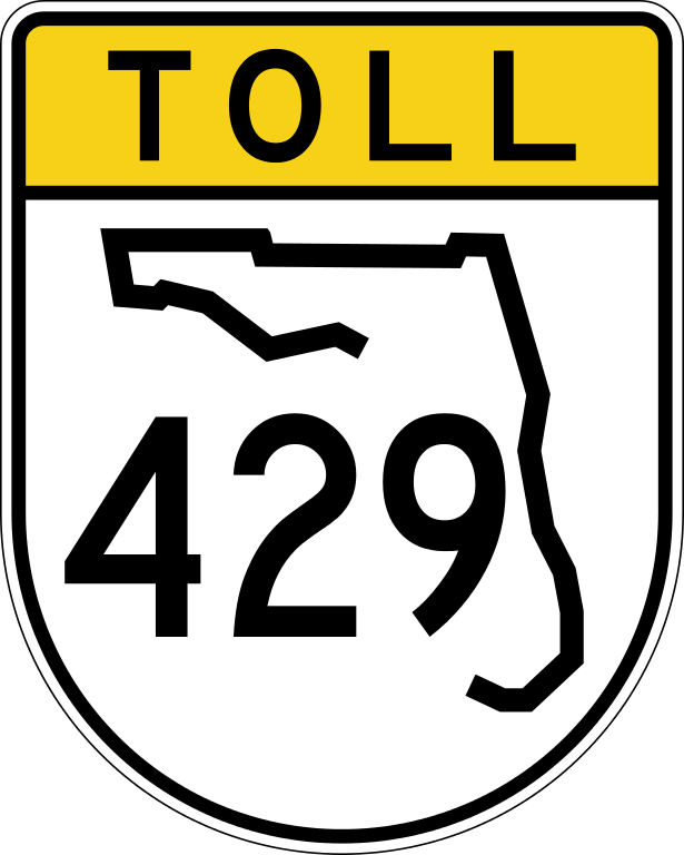
24 in by 30 in (600 mm by 750 mm) Florida toll State Road shield, made to the specifications of the sign detail. Uses the Roadgeek 2005 fonts archive copy at the Wayback Machine. (United States law does not permit the copyrighting of typeface designs, and the fonts are meant to be copies of a U.S. Government-produced work anyway.) Colors are from [1] (Pantone Green 342), converted to RGB by [2]. The outside border has a width of 1 (1/16 in) and a color of black so it shows up; in reality, signs have no outside border.
Note that the drawing provides little in the way of measurements, but is generally very accurate. The Florida outline is from the sign detail for normal State Road shields, which is used according to [3]. The state outline and number positioning is guessed.
File history
Click on a date/time to view the file as it appeared at that time.
| Date/Time | Thumbnail | Dimensions | User | Comment | |
|---|---|---|---|---|---|
| current | 08:11, 29 January 2014 | | 385 × 481 (7 KB) | NE2 (talk | contribs) | yellow toll style now used on all new signs in Orlando area |
| 05:45, 11 April 2006 |  | 385 × 481 (7 KB) | SPUI~commonswiki (talk | contribs) | fixed state outline | |
| 07:16, 10 April 2006 |  | 385 × 481 (7 KB) | SPUI~commonswiki (talk | contribs) | {{spuiother}} 24 in by 30 in (600 mm by 750 mm) Florida toll State Road shield, made to the specifications of the [http://www.dot.state.fl.us/trafficoperations/SignLibrary/Guide/sign_library_guide.htm sign detail]. Uses the [http://www.triskele.com/fonts/ |
You cannot overwrite this file.
File usage on Commons
The following 3 pages use this file:
File usage on other wikis
The following other wikis use this file:
- Usage on arz.wikipedia.org
- Usage on bn.wikipedia.org
- Usage on en.wikipedia.org
- Orange County, Florida
- Osceola County, Florida
- Seminole County, Florida
- Interstate 4
- Orlando, Florida
- Florida's Turnpike
- Central Florida Expressway Authority
- Florida State Road 417
- Florida State Road 408
- Florida State Road 50
- Florida State Road 451
- U.S. Route 192
- Florida State Road 429
- Apopka-Vineland Road
- Osceola Parkway
- List of state roads in Florida
- Florida State Road 430
- Florida State Road 46
- Florida State Road 516
- Florida State Road 414
- Florida State Road 535
- Florida State Road 537
- Florida State Road 438
- Florida State Road 426
- User:Patricknoddy/Exit Guide
- List of toll roads in Florida
- U.S. Route 441 in Florida
- List of toll roads in the United States
- Wikipedia:WikiProject U.S. Roads/Shields task force/Database/toll roads
- List of highways numbered 429
- User:DanTD/Sandbox/Orange Blossom Trail
- User:NE2/FLSR
- User:Benhen1997/Sandbox/Exit list
- Florida State Road 453
- User:Mattx8y/sandbox/mint/I-4
- Usage on en.wikivoyage.org
- Usage on es.wikipedia.org
- Usage on fr.wikipedia.org
- Usage on gu.wikipedia.org
- Usage on it.wikipedia.org
- Usage on ja.wikipedia.org
View more global usage of this file.