File:Tolmin, WW1 bunker at southern slope of Kozlov rob 02.jpg

Size of this preview: 800 × 599 pixels. Other resolutions: 320 × 239 pixels | 640 × 479 pixels | 1,024 × 766 pixels | 1,280 × 958 pixels | 2,560 × 1,916 pixels | 4,640 × 3,472 pixels.
Original file (4,640 × 3,472 pixels, file size: 10.75 MB, MIME type: image/jpeg)
Captions
Captions
Add a one-line explanation of what this file represents
Summary
edit
| Description |
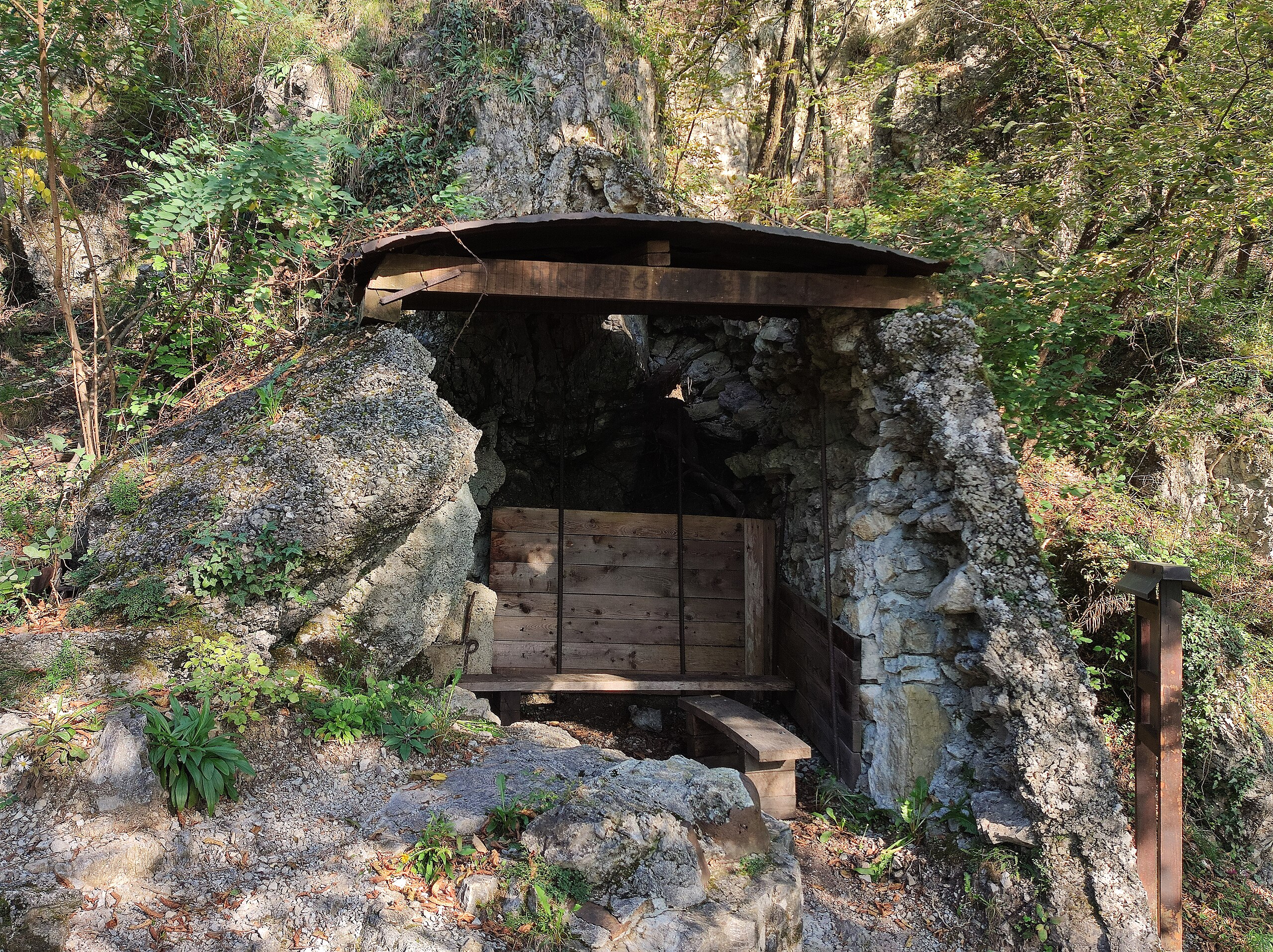
Slovenščina: Bunker (kaverna) iz časa 1. sv. vojne ob učni poti po južmem pobočju hriba Kozlov rob v Tolminu.
English: Bunker (cavern) from the WW1, located along the educational trail on the southern slope of the Kozlov rob hill in Tolmin. |
| Date | |
| Source | Own work |
| Author | Ajznponar |
| Camera location | | View this and other nearby images on: OpenStreetMap |
|---|
Licensing
edit
I, the copyright holder of this work, hereby publish it under the following license:
This file is licensed under the Creative Commons Attribution-Share Alike 4.0 International license.
- You are free:
- to share – to copy, distribute and transmit the work
- to remix – to adapt the work
- Under the following conditions:
- attribution – You must give appropriate credit, provide a link to the license, and indicate if changes were made. You may do so in any reasonable manner, but not in any way that suggests the licensor endorses you or your use.
- share alike – If you remix, transform, or build upon the material, you must distribute your contributions under the same or compatible license as the original.
File history
Click on a date/time to view the file as it appeared at that time.
| Date/Time | Thumbnail | Dimensions | User | Comment | |
|---|---|---|---|---|---|
| current | 17:47, 6 October 2023 | | 4,640 × 3,472 (10.75 MB) | Ajznponar (talk | contribs) | Uploaded own work with UploadWizard |
You cannot overwrite this file.
File usage on Commons
There are no pages that use this file.