File:TopograficznaKartaJózefów.png

Size of this preview: 800 × 577 pixels. Other resolutions: 320 × 231 pixels | 640 × 462 pixels | 1,024 × 739 pixels | 1,280 × 924 pixels | 1,635 × 1,180 pixels.
Original file (1,635 × 1,180 pixels, file size: 363 KB, MIME type: image/png)
Captions
Captions
Add a one-line explanation of what this file represents
Summary
edit
| Description |
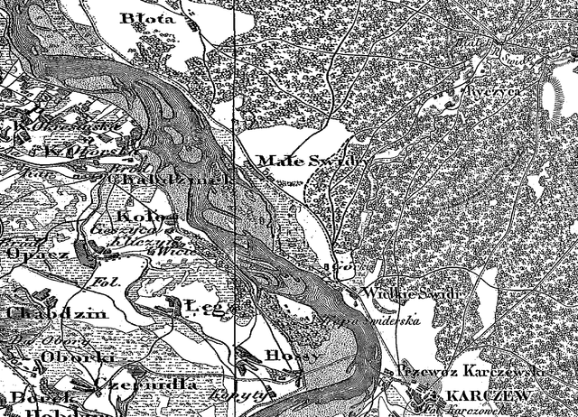
Polski: Okolice Józefowa (pod Otwockiem) na Topograficznej Karcie Królestwa Polskiego z 1825 roku |
| Date | |
| Source | Topograficzna Karta Królestwa Polskiego |
| Author | Korpus topografów sztabu |
Licensing
edit
|
This work is in the public domain in its country of origin and other countries and areas where the copyright term is the author's life plus 70 years or fewer. | |
| This file has been identified as being free of known restrictions under copyright law, including all related and neighboring rights. | |
File history
Click on a date/time to view the file as it appeared at that time.
| Date/Time | Thumbnail | Dimensions | User | Comment | |
|---|---|---|---|---|---|
| current | 15:14, 24 September 2012 | | 1,635 × 1,180 (363 KB) | Tomekg.966 (talk | contribs) | User created page with UploadWizard |
You cannot overwrite this file.
File usage on Commons
There are no pages that use this file.
File usage on other wikis
The following other wikis use this file:
- Usage on pl.wikipedia.org