File:Topographic map of Francis E. Walter Dam and Reservoir, Bear Creek, and the Lehigh River.png

Size of this preview: 628 × 600 pixels. Other resolutions: 251 × 240 pixels | 503 × 480 pixels | 804 × 768 pixels | 1,072 × 1,024 pixels | 1,404 × 1,341 pixels.
Original file (1,404 × 1,341 pixels, file size: 829 KB, MIME type: image/png)
Captions
Captions
Add a one-line explanation of what this file represents
Summary
edit
| Description |
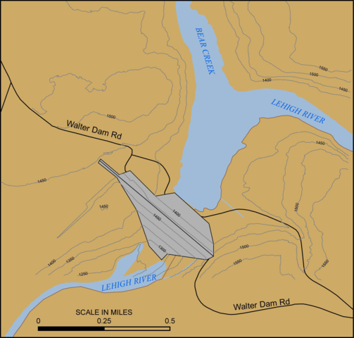
English: Cropped version of public domain image showing the topography and location of the Francis E. Walter Dam and its surrounding rivers and reservoir |
| Source | http://www.nap.usace.army.mil/Missions/Factsheets/Fact-Sheet-Article-View/Article/490854/francis-e-walter-dam/ |
| Author | United States Army Corps of Engineers |
Licensing
edit
This file is a work of a U.S. Army soldier or employee, taken or made as part of that person's official duties. As a work of the U.S. federal government, it is in the public domain in the United States.
|
 |
File history
Click on a date/time to view the file as it appeared at that time.
| Date/Time | Thumbnail | Dimensions | User | Comment | |
|---|---|---|---|---|---|
| current | 00:56, 15 March 2018 | | 1,404 × 1,341 (829 KB) | Matt18224 (talk | contribs) | Uploading a public-domain item using File Upload Wizard |
You cannot overwrite this file.
File usage on Commons
There are no pages that use this file.
File usage on other wikis
The following other wikis use this file:
- Usage on en.wikipedia.org