File:Topographical map of the province of Lower Canada 02a.png

Size of this preview: 800 × 569 pixels. Other resolutions: 320 × 228 pixels | 640 × 455 pixels | 1,024 × 729 pixels | 1,280 × 911 pixels | 2,560 × 1,822 pixels | 4,932 × 3,510 pixels.
Original file (4,932 × 3,510 pixels, file size: 19.27 MB, MIME type: image/png)
Captions
Captions
Add a one-line explanation of what this file represents
Summary
edit
| Description |
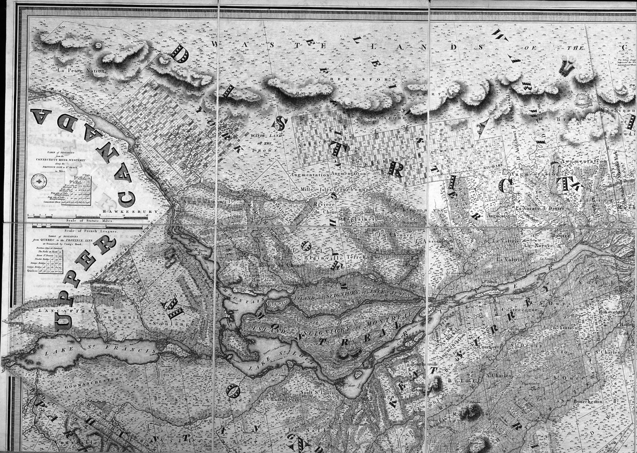
English: To his Royal Highness's George Augustus Frederick, Prince of Wales, Duke of Cornwall, &c. &c. &c. Prince Regent of the United Kingdom of Great Britain & Ireland; this topographical map of the province of Lower Canada (1/4) |
| Date | |
| Source | http://services.banq.qc.ca/sdx/cep/document.xsp?id=0000090115 |
| Author | Joseph Bouchette (1774-1841), William Faden (1749-1836) |
Licensing
edit
|
This work is in the public domain in its country of origin and other countries and areas where the copyright term is the author's life plus 100 years or fewer. | |
| This file has been identified as being free of known restrictions under copyright law, including all related and neighboring rights. | |
File history
Click on a date/time to view the file as it appeared at that time.
| Date/Time | Thumbnail | Dimensions | User | Comment | |
|---|---|---|---|---|---|
| current | 17:59, 10 March 2013 | | 4,932 × 3,510 (19.27 MB) | Jeangagnon (talk | contribs) | {{Information |Description ={{en|1=To his Royal Highness's George Augustus Frederick, Prince of Wales, Duke of Cornwall, &c. &c. &c. Prince Regent of the United Kingdom of Great Britain & Ireland; this topographical map of the province of Lower Cana... |
You cannot overwrite this file.
File usage on Commons
The following page uses this file: