File:Topologia Ciclorutas.svg

Size of this PNG preview of this SVG file: 561 × 212 pixels. Other resolutions: 320 × 121 pixels | 640 × 242 pixels | 1,024 × 387 pixels | 1,280 × 484 pixels | 2,560 × 967 pixels.
Original file (SVG file, nominally 561 × 212 pixels, file size: 21 KB)
Captions
Captions
Add a one-line explanation of what this file represents
Summary edit
| Description |
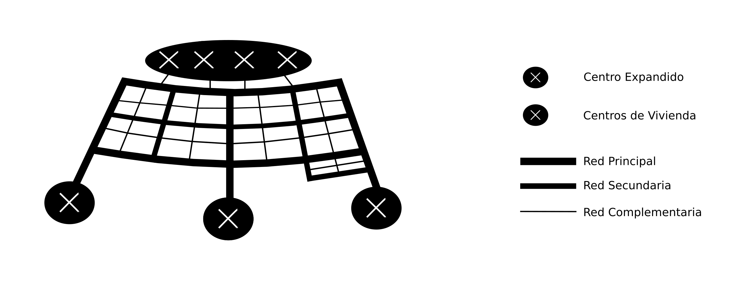
Diagrama para ilustrar la topología de las ciclorutas de Bogotá. Este sigue el trazado y la topografía de la ciudad. De norte a sur (izquierda-derecha en el diagrama) y desde los cerros orientales a occidente (de arriba - abajo) |
| Date | 8 June 2007 (upload date) |
| Source | Vectorized from here. |
| Author | w:es:Usuario:Paintman at es.wikipedia |
| Permission (Reusing this file) |
This image is in the public domain. |
Licensing edit
| This work has been released into the public domain by its author, Paintman at Spanish Wikipedia. This applies worldwide. In some countries this may not be legally possible; if so: Paintman grants anyone the right to use this work for any purpose, without any conditions, unless such conditions are required by law. |
File history
Click on a date/time to view the file as it appeared at that time.
| Date/Time | Thumbnail | Dimensions | User | Comment | |
|---|---|---|---|---|---|
| current | 20:45, 8 June 2007 | 561 × 212 (21 KB) | Paintman (talk | contribs) | {{Information |Description=Diagrama para ilustrar la topología de las ciclorutas de Bogotá. Este sigue el trazado y la topografía de la ciudad. De norte a sur (izquierda-derecha en el diagrama) y desde los cerros orientales a occidente (de arriba - aba |
You cannot overwrite this file.
File usage on Commons
There are no pages that use this file.
File usage on other wikis
The following other wikis use this file:
- Usage on es.wikipedia.org
- Usage on gl.wikipedia.org