File:Tottori géolocalisation.svg

Size of this PNG preview of this SVG file: 800 × 432 pixels. Other resolutions: 320 × 173 pixels | 640 × 346 pixels | 1,024 × 553 pixels | 1,280 × 692 pixels | 2,560 × 1,384 pixels | 1,049 × 567 pixels.
Original file (SVG file, nominally 1,049 × 567 pixels, file size: 1.67 MB)
Captions
Captions
Add a one-line explanation of what this file represents
Summary edit
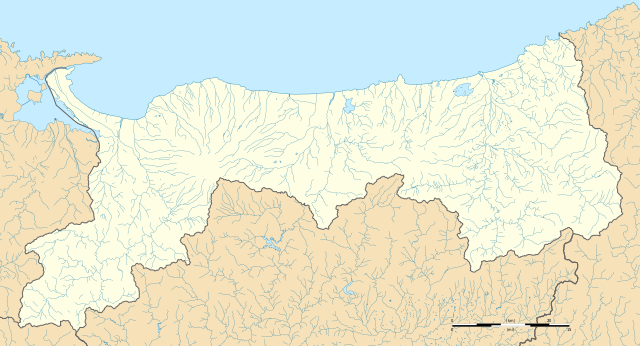
| Description |
Français : Carte administrative vierge de la préfecture de Tottori.
English: Blank administrative map of the Tottori prefecture. |
| Date | |
| Source |
Own work Sources of data : |
| Author | Flappiefh |
| Other versions |
|

Licensing edit
I, the copyright holder of this work, hereby publish it under the following license:
This file is licensed under the Creative Commons Attribution-Share Alike 4.0 International license.
- You are free:
- to share – to copy, distribute and transmit the work
- to remix – to adapt the work
- Under the following conditions:
- attribution – You must give appropriate credit, provide a link to the license, and indicate if changes were made. You may do so in any reasonable manner, but not in any way that suggests the licensor endorses you or your use.
- share alike – If you remix, transform, or build upon the material, you must distribute your contributions under the same or compatible license as the original.
File history
Click on a date/time to view the file as it appeared at that time.
| Date/Time | Thumbnail | Dimensions | User | Comment | |
|---|---|---|---|---|---|
| current | 18:51, 29 October 2016 | | 1,049 × 567 (1.67 MB) | Flappiefh (talk | contribs) |
You cannot overwrite this file.
File usage on Commons
The following 2 pages use this file:
File usage on other wikis
The following other wikis use this file:
- Usage on de.wikipedia.org
- Usage on en.wikipedia.org
- Tottori Station
- Tottori Airport
- Yonago Kitaro Airport
- Abe Station
- Higashihama Station
- Iwami Station (Tottori)
- Ōiwa Station
- Fukube Station
- Tottoridaigakumae Station
- Suetsune Station
- Hōgi Station
- Hamamura Station
- Aoya Station
- Tomari Station (Tottori)
- Matsuzaki Station (Tottori)
- Kurayoshi Station
- Shimohōjō Station
- Higashiyamakōen Station (Tottori)
- Yura Station
- Yonago Station
- Urayasu Station (Tottori)
- Yabase Station
- Akasaki Station (Tottori)
- Nakayamaguchi Station
- Shimoichi Station
- Mikuriya Station (Tottori)
- Nawa Station (Tottori)
- Daisenguchi Station
- Yodoe Station
- Hōki-Daisen Station
- Koyama Station
- Yamasato Station
- Koi-Yamagata Station
- Chizu Station
- Tsunoi Station
- Higashi-Kōge Station
- Kōge Station
- Kawahara Station
- Kunifusa Station
- Takagari Station
- Mochigase Station
- Inaba-Yashiro Station
- Haji Station
- Nagi Station
- Yazukōkōmae Station
- Inabafunaoka Station
- Hayabusa Station
- Hattō Station
- Tokumaru Station
View more global usage of this file.