File:Toukaidou line takashima line divergence.JPG

Size of this preview: 800 × 536 pixels. Other resolutions: 320 × 214 pixels | 640 × 428 pixels | 1,024 × 685 pixels | 1,280 × 857 pixels | 2,560 × 1,714 pixels | 3,872 × 2,592 pixels.
Original file (3,872 × 2,592 pixels, file size: 2.06 MB, MIME type: image/jpeg)
Captions
Captions
Add a one-line explanation of what this file represents
Summary edit
| Description |
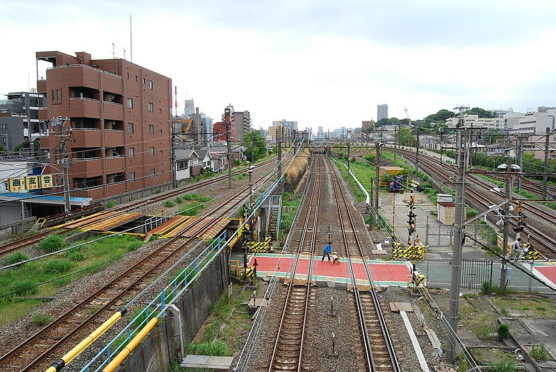
日本語: 東海道本線と高島線の分岐点。左の築堤上の2本の線路がこの先で左へ曲がって高島線となる。写真中央は東海道本線。手前は
|
| Date | |
| Source | Own work |
| Author | toshinori baba |
| Camera location | | View this and other nearby images on: OpenStreetMap |
|---|
Licensing edit
I, the copyright holder of this work, hereby publish it under the following license:
| This file is made available under the Creative Commons CC0 1.0 Universal Public Domain Dedication. | |
| The person who associated a work with this deed has dedicated the work to the public domain by waiving all of their rights to the work worldwide under copyright law, including all related and neighboring rights, to the extent allowed by law. You can copy, modify, distribute and perform the work, even for commercial purposes, all without asking permission.
|
| Annotations | This image is annotated: View the annotations at Commons |
File history
Click on a date/time to view the file as it appeared at that time.
| Date/Time | Thumbnail | Dimensions | User | Comment | |
|---|---|---|---|---|---|
| current | 16:07, 7 May 2011 | | 3,872 × 2,592 (2.06 MB) | Toshinori baba (talk | contribs) | {{Information |Description ={{ja|1=東海道本線と高島線との分岐点}} |Source =投稿者が撮影 |Author =toshinori baba |Date =2011/5/8 |Permission = |other_versions = }} |
You cannot overwrite this file.
File usage on Commons
The following page uses this file:
- File:Toukaidou line takashima line divergence .JPG (file redirect)
File usage on other wikis
The following other wikis use this file: