File:Tour de Diane - Corsica.jpg

Size of this preview: 800 × 554 pixels. Other resolutions: 320 × 222 pixels | 640 × 443 pixels | 1,024 × 710 pixels | 1,280 × 887 pixels | 2,560 × 1,774 pixels | 4,872 × 3,376 pixels.
Original file (4,872 × 3,376 pixels, file size: 3.09 MB, MIME type: image/jpeg)
Captions
Captions
Add a one-line explanation of what this file represents
Summary edit
| Description |
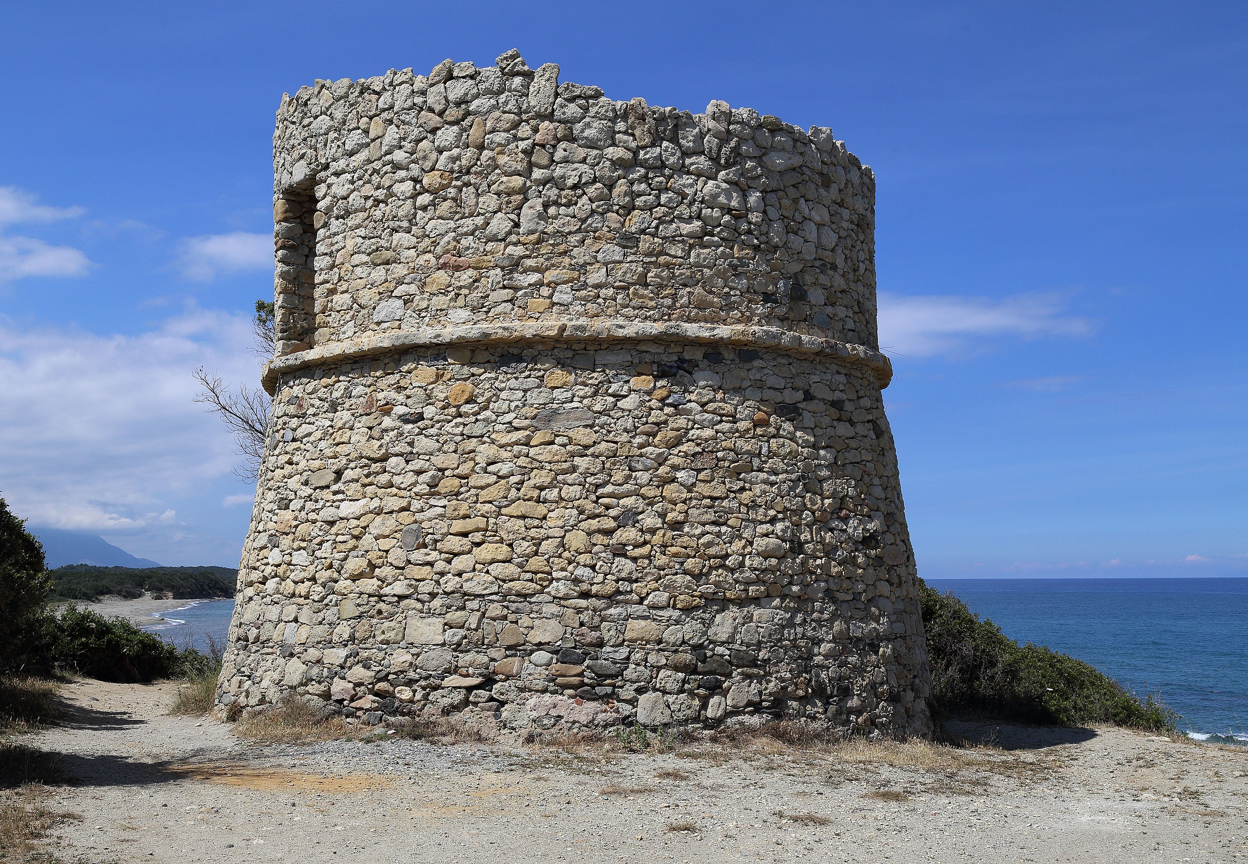
English: The ruins of the Tour de Diana. The Genoese tower is located in the commune of Aléria (Haute-Corse) and sits on a spit that forms the southern side of the entrance to the Étang de Diane. The tower was built in around 1582. |
| Date | |
| Source | Own work |
| Author | Aa77zz |
| Camera location | | View this and other nearby images on: OpenStreetMap |
|---|
Licensing edit
I, the copyright holder of this work, hereby publish it under the following license:
| This file is made available under the Creative Commons CC0 1.0 Universal Public Domain Dedication. | |
| The person who associated a work with this deed has dedicated the work to the public domain by waiving all of their rights to the work worldwide under copyright law, including all related and neighboring rights, to the extent allowed by law. You can copy, modify, distribute and perform the work, even for commercial purposes, all without asking permission.
|
File history
Click on a date/time to view the file as it appeared at that time.
| Date/Time | Thumbnail | Dimensions | User | Comment | |
|---|---|---|---|---|---|
| current | 12:17, 12 June 2016 | | 4,872 × 3,376 (3.09 MB) | Aa77zz (talk | contribs) | =={{int:filedesc}}== {{Information |description={{en|1=The ruins of the Tour de Diana. The Genoese tower is located in the commune of Aléria (Haute-Corse) and sits on a spit that forms the sout... |
You cannot overwrite this file.
File usage on Commons
There are no pages that use this file.
File usage on other wikis
The following other wikis use this file:
- Usage on en.wikipedia.org
- Usage on lij.wikipedia.org