File:Tour de Suisse (A).jpg
Size of this preview: 800 × 400 pixels. Other resolutions: 320 × 160 pixels | 640 × 320 pixels | 1,024 × 512 pixels | 1,280 × 640 pixels | 3,118 × 1,558 pixels.
Original file (3,118 × 1,558 pixels, file size: 2.11 MB, MIME type: image/jpeg)
Captions
Captions
Add a one-line explanation of what this file represents
| Description |
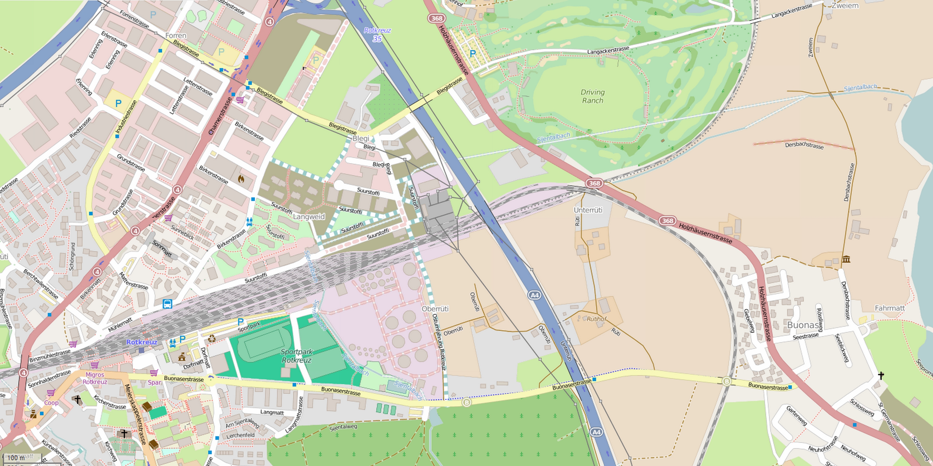
Fond de carte utilisé pour générer la carte de la première étape du Tour de Suisse 2015 à Risch-Rotkreuz. This map was created from OpenStreetMap project data, collected by the community. This map may be incomplete, and may contain errors. Don't rely solely on it for navigation. |
|||
| Date | ||||
| Source | You may find a page on the OpenStreetMap wiki page for Tour de Suisse, Risch-Rotkreuz | |||
| Creator |
OpenStreetMap contributors OpenStreetMap contributors |
|||
| Permission (Reusing this file) |
OpenStreetMap data is available under the Open Database License (details). Map tiles are licensed under the Creative Commons Attribution-ShareAlike 2.0 license (CC-BY-SA 2.0).
This file is licensed under the Creative Commons Attribution-Share Alike 2.0 Generic license.
|
|||
| Georeferencing | If inappropriate please set warp_status = skip to hide. | |||
| Other versions |
File history
Click on a date/time to view the file as it appeared at that time.
| Date/Time | Thumbnail | Dimensions | User | Comment | |
|---|---|---|---|---|---|
| current | 08:51, 19 June 2015 | | 3,118 × 1,558 (2.11 MB) | Jérémy-Günther-Heinz Jähnick (talk | contribs) | {{OpenStreetMap |name = Tour de Suisse, Risch-Rotkreuz |location = |description = Fond de carte utilisé pour générer la carte de la première étape du Tour de Suisse 2015 à Risch-Rotkreuz. |top = |bottom = |left =... |
You cannot overwrite this file.
File usage on Commons
The following page uses this file:
.jpg)
.jpg&oldid=837887799)