File:Tower Listrik Tenaga Angin.jpg

Size of this preview: 800 × 532 pixels. Other resolutions: 320 × 213 pixels | 640 × 426 pixels | 1,024 × 681 pixels | 1,280 × 852 pixels | 2,560 × 1,703 pixels | 5,759 × 3,832 pixels.
Original file (5,759 × 3,832 pixels, file size: 1.22 MB, MIME type: image/jpeg)
Captions
Captions
Add a one-line explanation of what this file represents
Summary
edit
| Description |
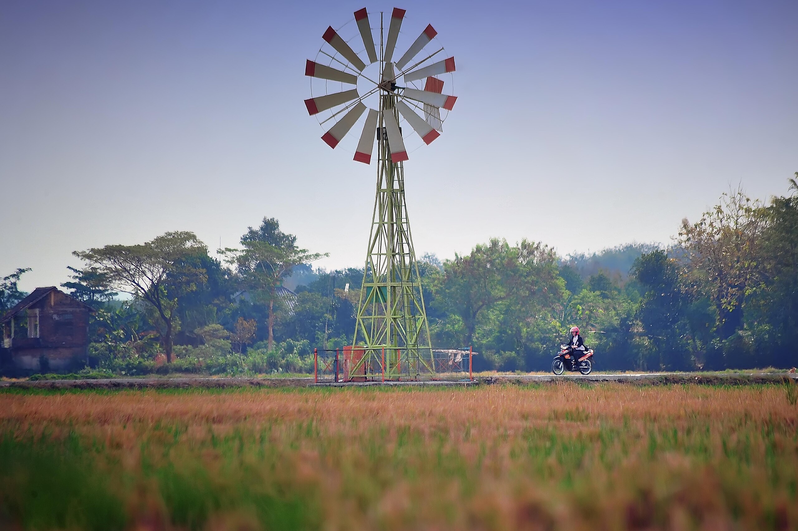
Bahasa Indonesia: Warga melintas di pompa bertenaga kincir angin di persawahan Desa Dibal, Ngemplak, Boyolali, sumur pompa pertanian bertenaga angin itu menjadi satu-satunya alat penunjang pertanian yang bebas bahan bakar minyak (BBM). Sumur tersebut menyedot 60 liter air/menit. English: Residents pass by a windmill-powered pump in the rice fields of Dibal Village, Ngemplak, Boyolali, the wind-powered agricultural well pump is the only agricultural support tool that is fuel oil (BBM) free. The well sucks 60 liters of water/minute. |
| Date | |
| Source | Own work |
| Author | Devanocturno |
Licensing
edit
I, the copyright holder of this work, hereby publish it under the following license:
This file is licensed under the Creative Commons Attribution 4.0 International license.
- You are free:
- to share – to copy, distribute and transmit the work
- to remix – to adapt the work
- Under the following conditions:
- attribution – You must give appropriate credit, provide a link to the license, and indicate if changes were made. You may do so in any reasonable manner, but not in any way that suggests the licensor endorses you or your use.
| This file was uploaded as part of Wiki Science Competition 2023. |
File history
Click on a date/time to view the file as it appeared at that time.
| Date/Time | Thumbnail | Dimensions | User | Comment | |
|---|---|---|---|---|---|
| current | 03:52, 18 December 2023 | | 5,759 × 3,832 (1.22 MB) | Devanocturno (talk | contribs) | Uploaded own work with UploadWizard |
You cannot overwrite this file.
File usage on Commons
The following page uses this file: