File:Très-Saint-Sacrement Quebec location diagram.PNG
No higher resolution available.
Très-Saint-Sacrement_Quebec_location_diagram.PNG (776 × 472 pixels, file size: 197 KB, MIME type: image/png)
Captions
Captions
Add a one-line explanation of what this file represents
Summary
edit
| Description |
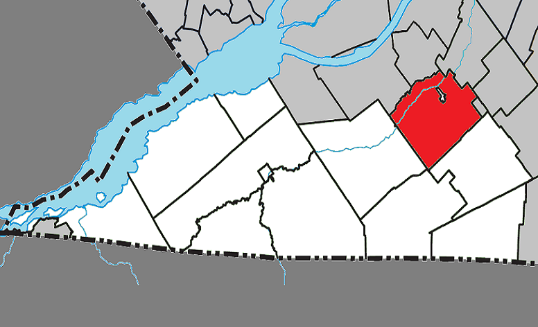
English: Location of Très-Saint-Sacrement, Quebec within Le Haut-Saint-Laurent Regional County Municipality. |
| Date | |
| Source | Own work |
| Author | Gordalmighty |
Licensing
edit
| I, the copyright holder of this work, release this work into the public domain. This applies worldwide. In some countries this may not be legally possible; if so: I grant anyone the right to use this work for any purpose, without any conditions, unless such conditions are required by law. |
File history
Click on a date/time to view the file as it appeared at that time.
| Date/Time | Thumbnail | Dimensions | User | Comment | |
|---|---|---|---|---|---|
| current | 17:53, 24 March 2013 | | 776 × 472 (197 KB) | Gordalmighty (talk | contribs) | size & colour |
| 04:44, 6 April 2009 |  | 643 × 285 (60 KB) | Gordalmighty (talk | contribs) | map upgrade | |
| 15:56, 1 April 2009 |  | 595 × 285 (38 KB) | Gordalmighty (talk | contribs) | ||
| 15:42, 1 April 2009 |  | 590 × 285 (37 KB) | Gordalmighty (talk | contribs) | {{Information |Description={{en|1=Location of Très-Saint-Sacrement, Quebec within Le Haut-Saint-Laurent Regional County Municipality.}} |Source=Own work by uploader |Author=Gordalmighty |Date=2009-04-01 |Permission= |other_versions= |
You cannot overwrite this file.
File usage on Commons
The following page uses this file:
File usage on other wikis
The following other wikis use this file:
- Usage on en.wikipedia.org
- Usage on es.wikipedia.org
- Usage on fa.wikipedia.org
- Usage on www.wikidata.org